Premier Catalog Auctions - Session III
Sat, Sep 15, 2018 09:00AM EDT

| Price | Bid Increment |
|---|---|
| $0 | $25 |
| $100 | $50 |
| $1,000 | $100 |
| $2,000 | $200 |
| $3,000 | $250 |
| $5,000 | $500 |
| $10,000 | $1,000 |
| $20,000 | $2,000 |
| $50,000 | $5,000 |
| $100,000 | $10,000 |
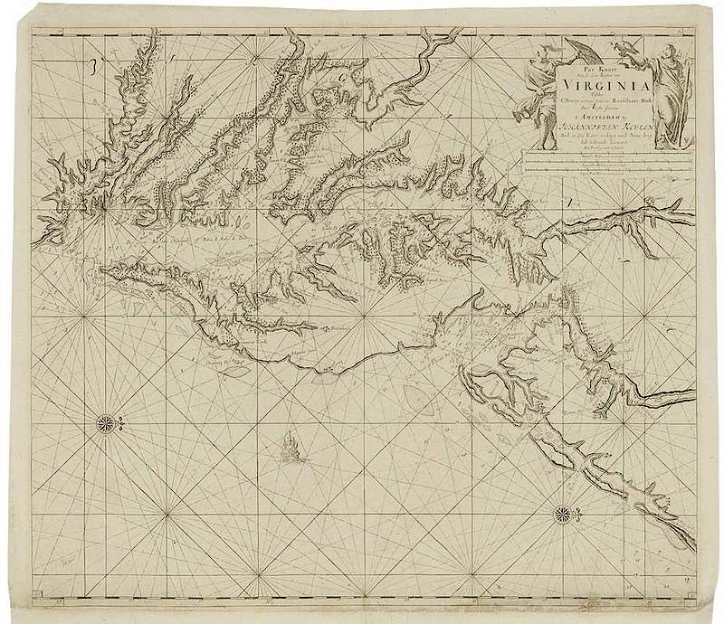
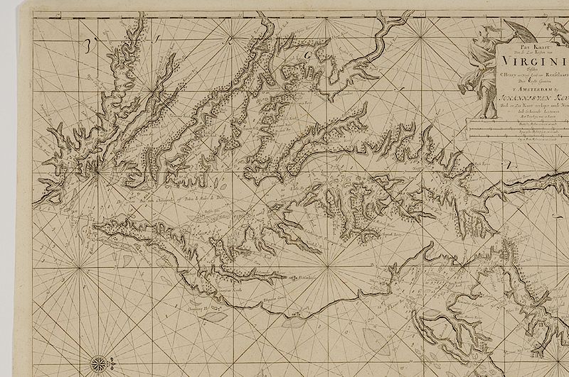
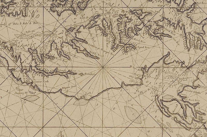
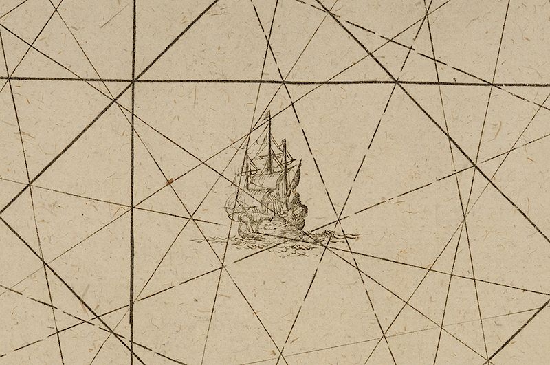
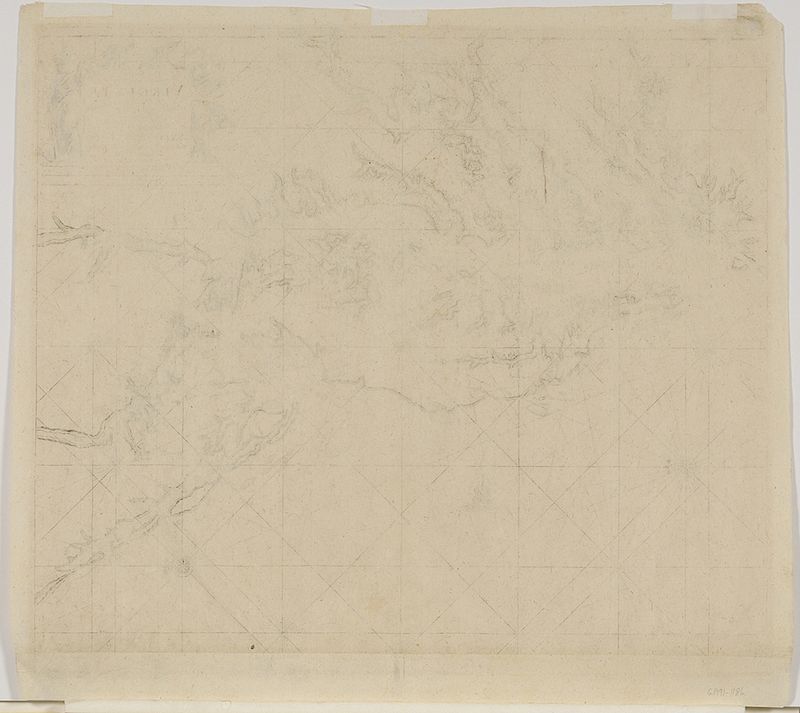
Claes Jansz Vooght (d. 1696), after work by Augustine Herrman (ca. 1621-1686) Pas Kaart Van de Zee Kusten van Virginia Tusschen C Henry en t Hooge Land van Renselaars Hoek Door Vooght Geometra, 1684, Johannes van Keulen (1654-1715) publisher, black and white line engraving on laid paper, 22-1/2 x 22-3/4 in (overall); unframed
Note: This map is among the earliest derivatives of Augustine Herrman's rare map of Virginia and Maryland from 1673. North is oriented to the right of the map rather than the top.
The cartouche in the upper right corner reads: Pas Kaart/ Van de Zee Kusten van/ VIRGINIA/ Tusschen/ C Henry en t Hooge Land van Renselaars Hoek/ Door Vooght Geometra/ T AMSTERDAM By/ JOHANNIS VAN KEULEN/ Boek en Zee Kaart verkoper aande Niewe brug/ Inde Gekroonde Lootsman/ Met Privilegie voor 15 Iaaren/ Duutcshe Mylen 15 in een Graadt/ Eng en Fran Mylen 20 in een Graadt
Literature: Burden, Philip D., The Mapping of North America, pp. 247-249, #588.
, Provenance: Colonial Williamsburg Foundation, Proceeds to Benefit the Acquisitions Fund
In house shipping. Brunk Auctions provides in-house shipping via UPS Ground (signature required) for many items. Brunk Auctions will provide a shipping quote which includes shipping, materials, labor and insurance. Insurance is based on the selling price and premium.
In order to provide an accurate shipping quote please provide the following:
Shipping arrangements are made only after the invoice is paid. The payment for shipping is a separate charge from payment of your lots.
Sales Tax: If you live in North Carolina and/or pick up from the auction house, and do not have a valid resale tax number on file with us, you MUST pay North Carolina state sales tax. The NC Sales Tax will not apply to any items being shipped out of state (unless the client resides in North Carolina) or to those clients with a resale tax number.