Premier Catalog Auctions - Session III
Sat, Sep 15, 2018 09:00AM EDT

| Price | Bid Increment |
|---|---|
| $0 | $25 |
| $100 | $50 |
| $1,000 | $100 |
| $2,000 | $200 |
| $3,000 | $250 |
| $5,000 | $500 |
| $10,000 | $1,000 |
| $20,000 | $2,000 |
| $50,000 | $5,000 |
| $100,000 | $10,000 |
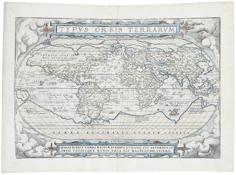
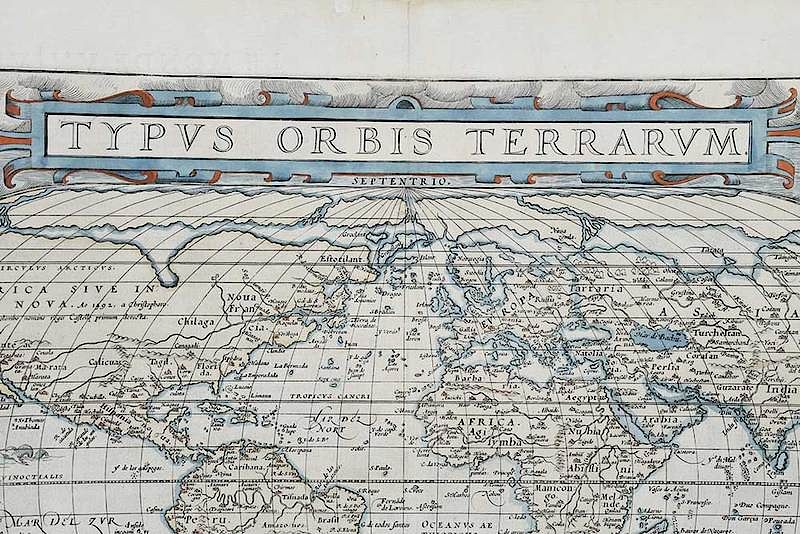
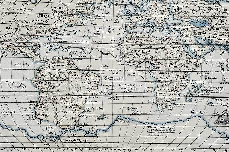
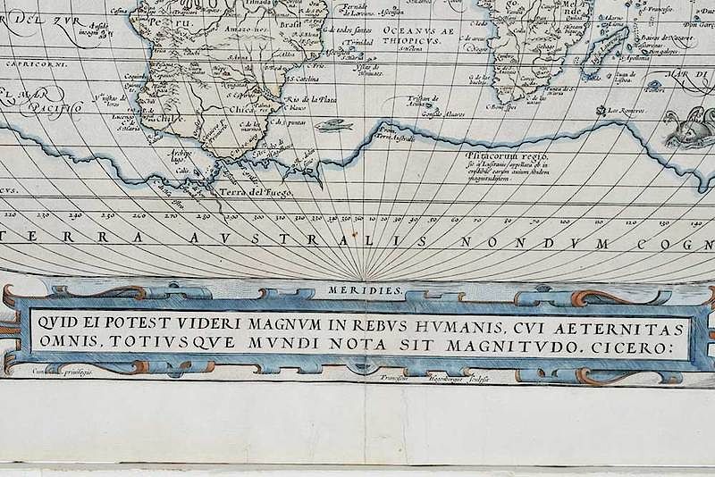
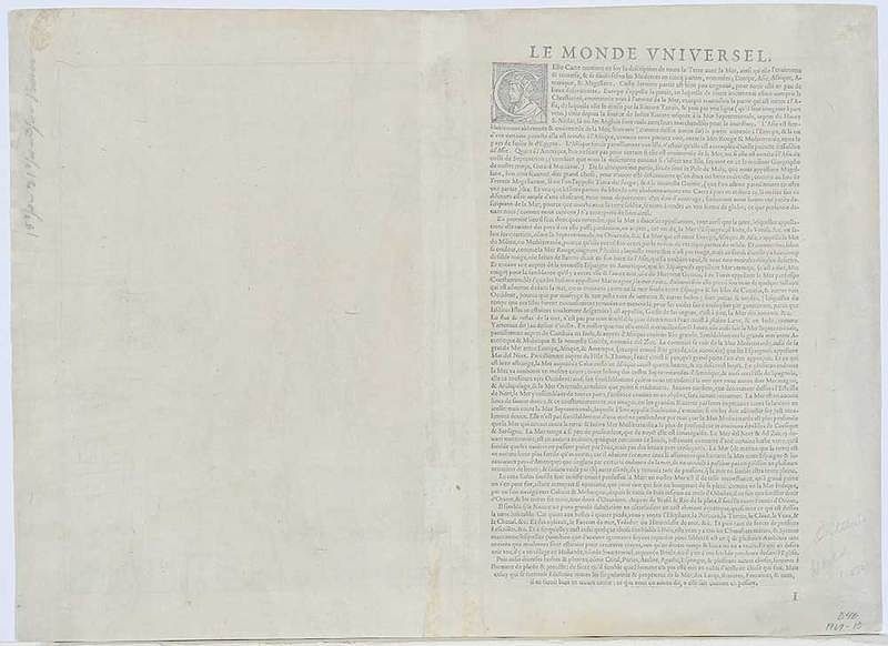
Abraham Ortelius (1527-1598) Typvs Orbis Terrarvm, Antwerp, 1572, from Theatrum Orbis Terrarum, black and white engraving on laid paper with hand color, 13-3/8 x 20 in. (plate), unframed
Note: This mid-sixteenth-century map was published in Abraham Ortelius' atlas, Typus Orbis Terrarum. The abnormalities in its delineation are of particular interest. The east coast lacks most of its important landmarks such as the Chesapeake Bay, Cape Cod and Long Island. However, the highly sought after Northwest passage, which Ortelius imagined passing straight across the top of North America, is included. Curiously, California is depicted as part of the mainland, which was contrary to the popular belief that it was an island.
, Provenance: Colonial Williamsburg Foundation, Proceeds to Benefit the Acquisitions FundIn house shipping. Brunk Auctions provides in-house shipping via UPS Ground (signature required) for many items. Brunk Auctions will provide a shipping quote which includes shipping, materials, labor and insurance. Insurance is based on the selling price and premium.
In order to provide an accurate shipping quote please provide the following:
Shipping arrangements are made only after the invoice is paid. The payment for shipping is a separate charge from payment of your lots.
Sales Tax: If you live in North Carolina and/or pick up from the auction house, and do not have a valid resale tax number on file with us, you MUST pay North Carolina state sales tax. The NC Sales Tax will not apply to any items being shipped out of state (unless the client resides in North Carolina) or to those clients with a resale tax number.