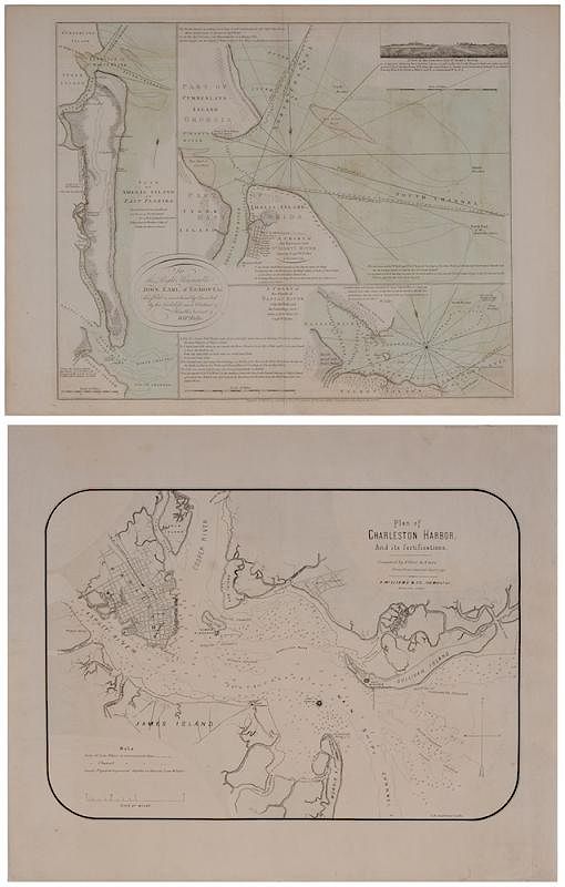
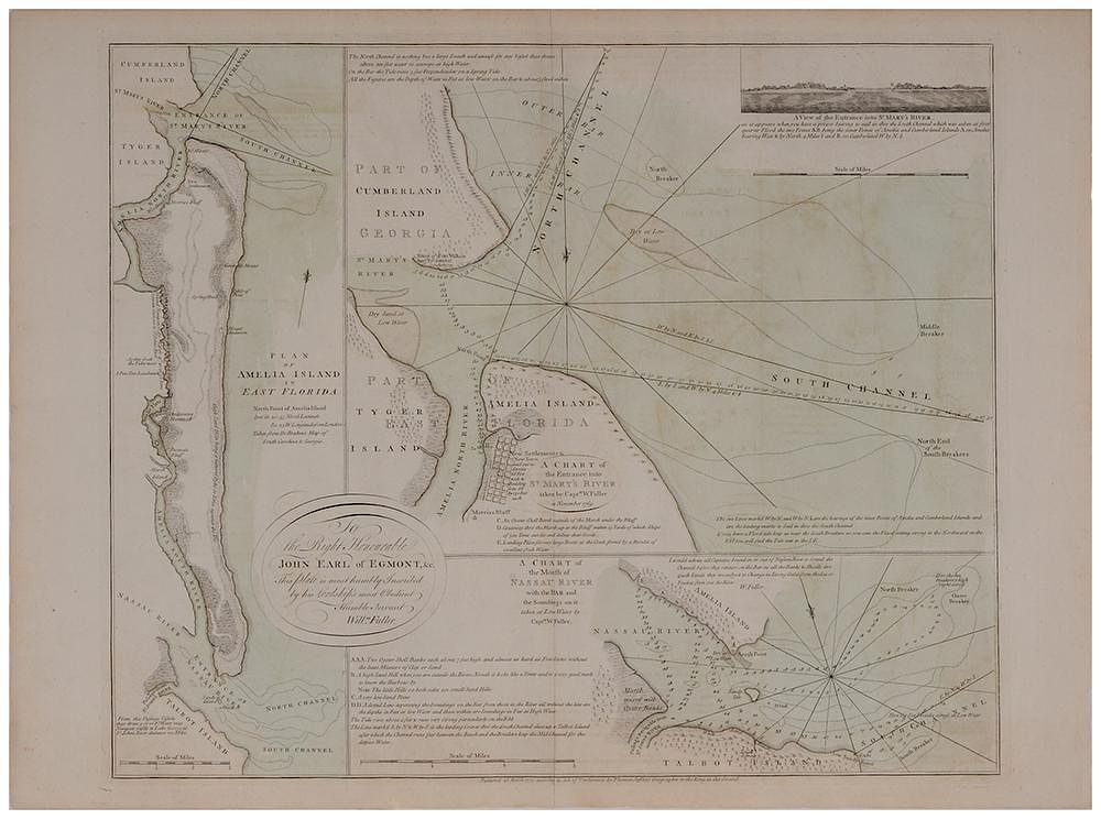
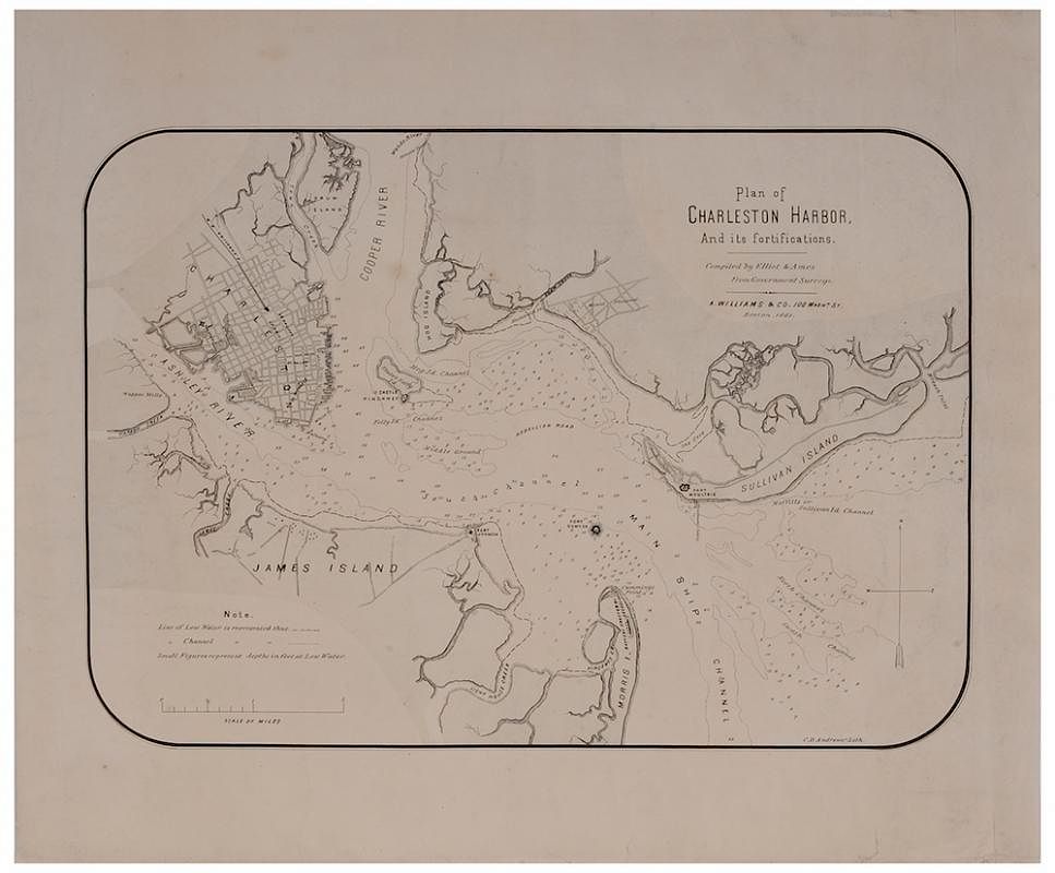
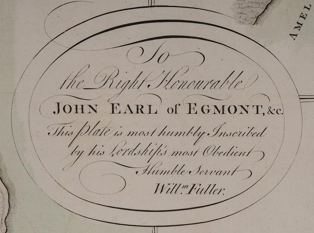
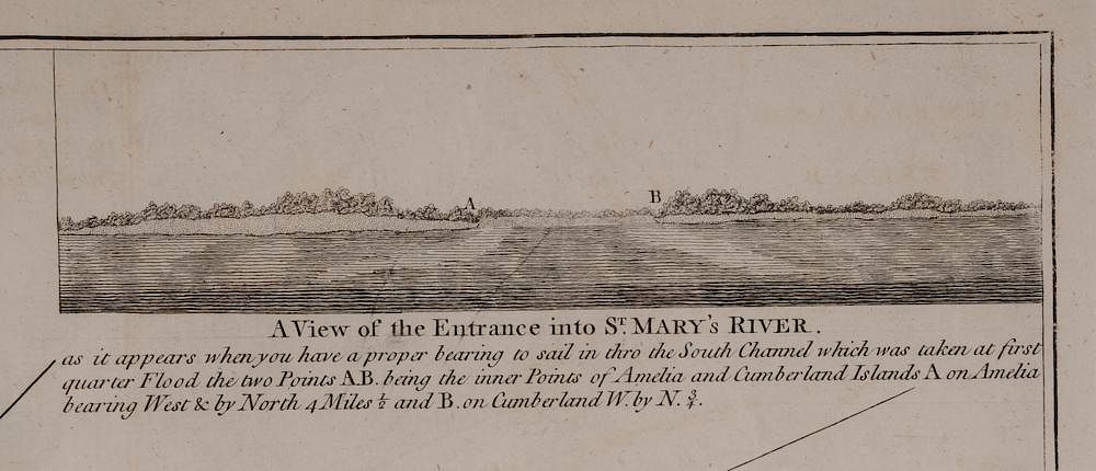
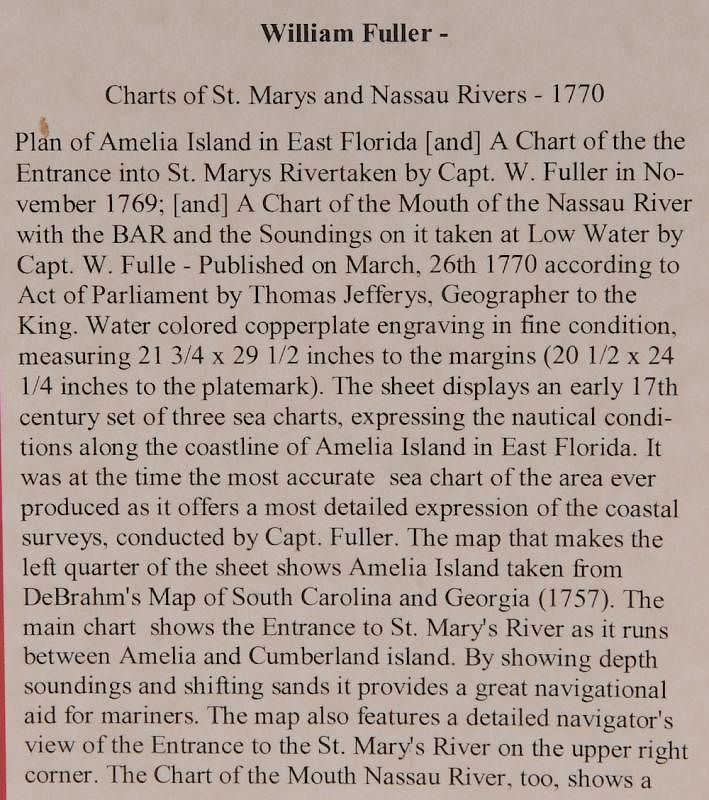
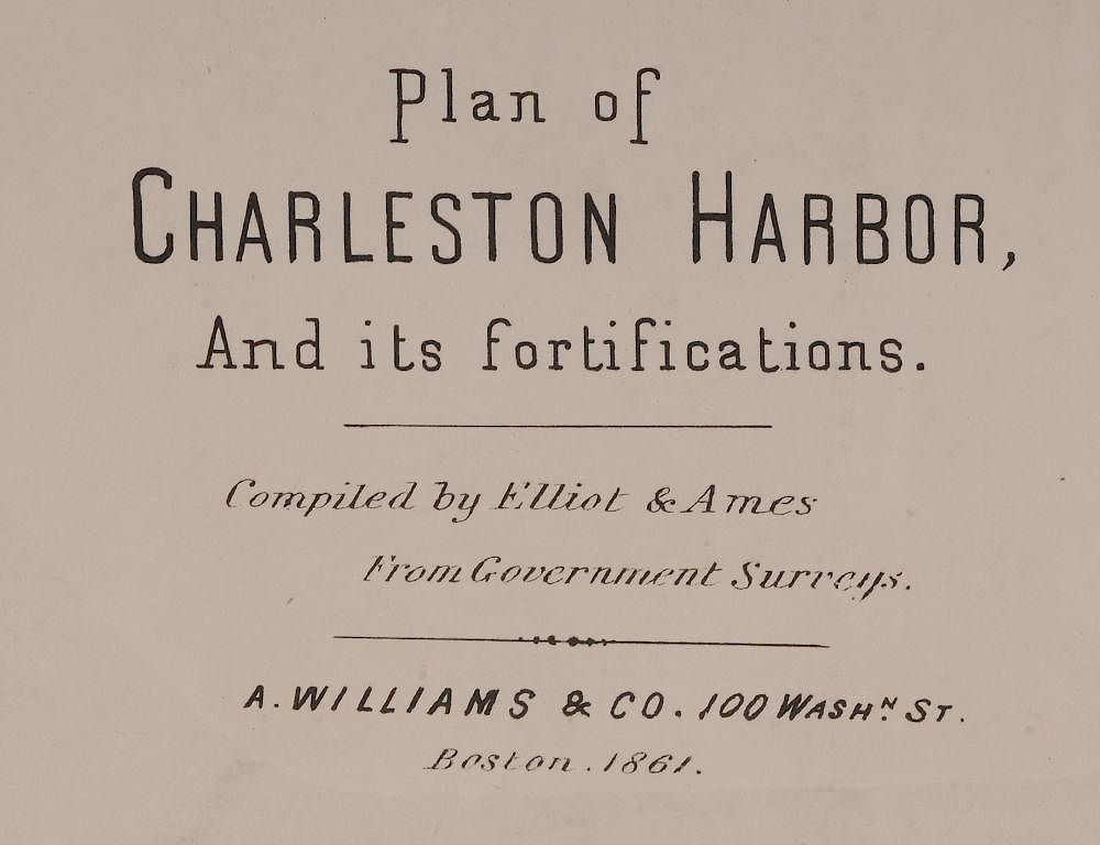
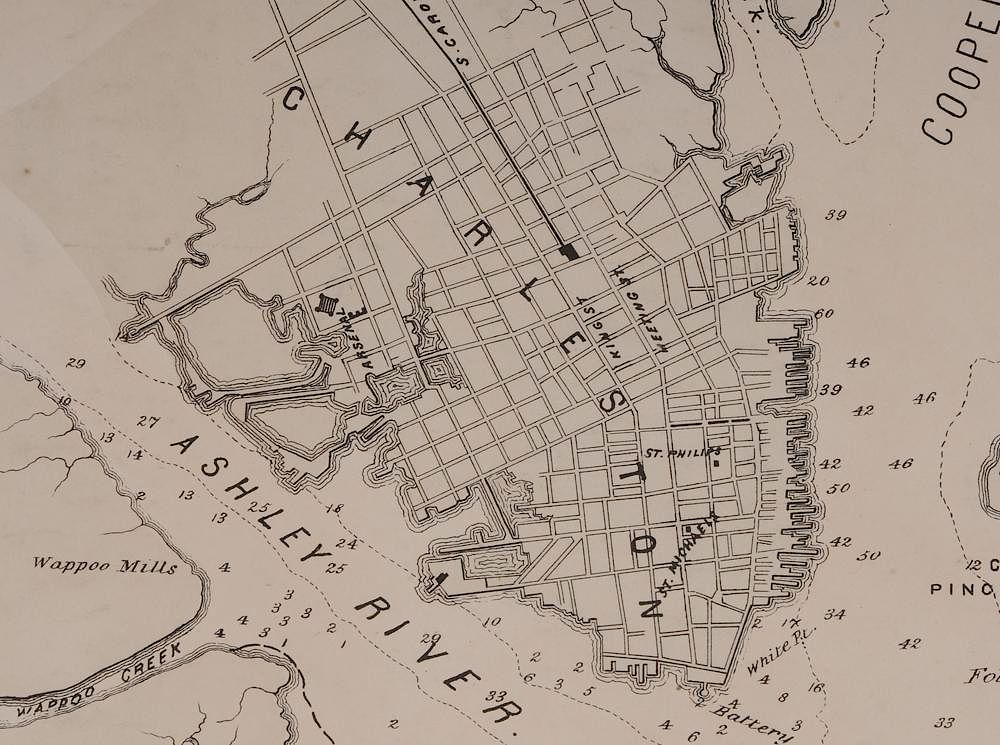
including Thomas Jefferys' Plan of Amelia Island in East Florida, A Chart of the Entrance Into St. Mary's River, A Chart of the Mouth of Nassau Rivers, 1770, three sea charts on one sheet which were the most accurate for the time, surveys conducted by Captain William Fuller, with the only coloring in the areas of water, 21-5/8 x 29-1/4 in., slightly toned and some areas of foxing otherwise very good; Plan of Charleston Harbor, And its fortifications, Compiled by Elliot and Ames, Boston, 1861, an uncolored sea chart compiled from Government Surveys, 15-3/8 x 21-3/8 in., rebacked on rice paper, several repaired tears to the bottom edge, a small chip missing from the top margin, and scattered very light foxing otherwise very good . Provenance: Atlanta, Georgia Collection