September Premier Auction: Day 2
Sat, Sep 16, 2017 09:00AM EDT - Sun, Sep 17, 2017 09:00AM EDT

| Price | Bid Increment |
|---|---|
| $0 | $25 |
| $100 | $50 |
| $1,000 | $100 |
| $2,000 | $200 |
| $3,000 | $250 |
| $5,000 | $500 |
| $10,000 | $1,000 |
| $20,000 | $2,000 |
| $50,000 | $5,000 |
| $100,000 | $10,000 |
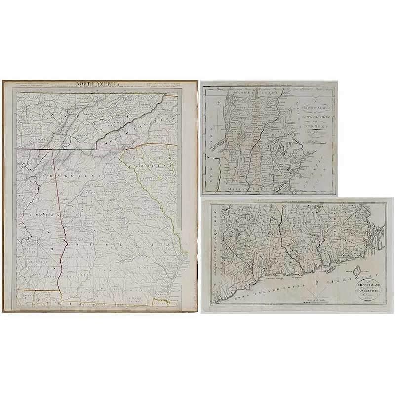
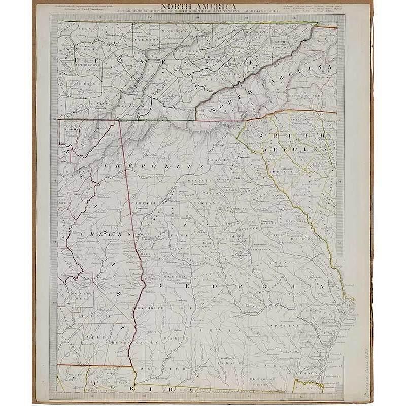
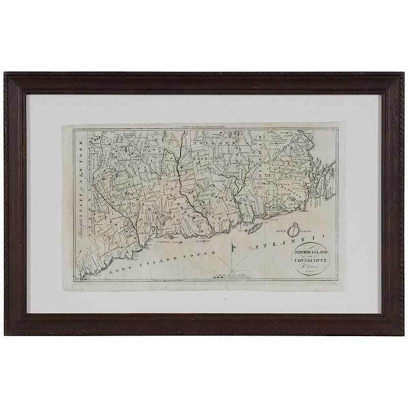
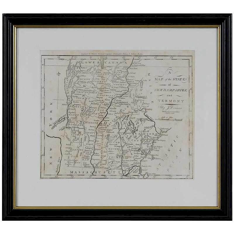
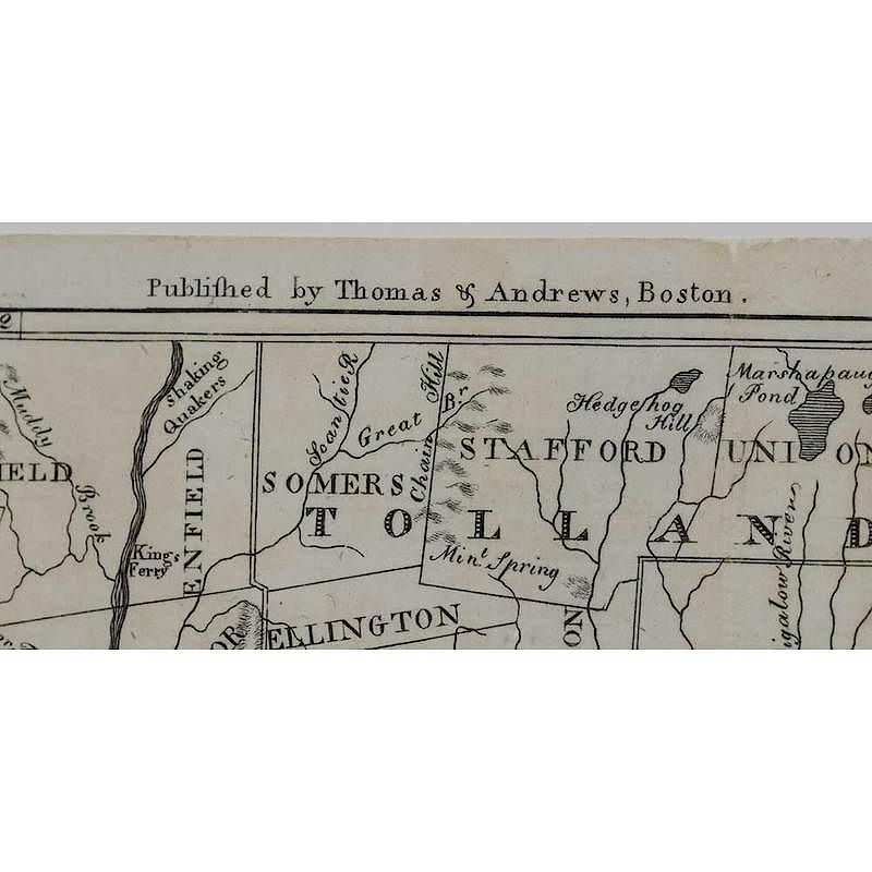
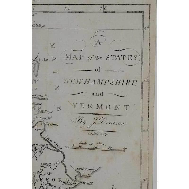
including Sheet XII. Georgia, with Parts of North and South Carolina, etc. by the Society for the Diffusion of Useful Knowledge, circa 1833, colored in outline, 16 x 13-1/2 in.; unframed, top and bottom trimmed as is frequently found with this map, otherwise very good condition; A Map of the States of New Hampshire and Vermont by J. Denison, from Morse's Universal Geography, 1796, 7-3/4 x 9-1/4 in.; matted and framed, 12-1/2 x 14 in., professional conservation with Japan paper lining otherwise near fine condition, not examined out of frame; Rhode Island and Connecticut, Published by Thomas and Andrews, Boston, from Morse's Universal Geography, 8-1/4 x 14 in.; matted and framed in a decorated wood frame, 13 x 19-7/8 in., professionally restored with Japan paper lining, otherwise very good condition, frame with light abrasions, not examined out of frame
In house shipping. Brunk Auctions provides in-house shipping via UPS Ground (signature required) for many items. Brunk Auctions will provide a shipping quote which includes shipping, materials, labor and insurance. Insurance is based on the selling price and premium.
In order to provide an accurate shipping quote please provide the following:
Shipping arrangements are made only after the invoice is paid. The payment for shipping is a separate charge from payment of your lots.
Sales Tax: If you live in North Carolina and/or pick up from the auction house, and do not have a valid resale tax number on file with us, you MUST pay North Carolina state sales tax. The NC Sales Tax will not apply to any items being shipped out of state (unless the client resides in North Carolina) or to those clients with a resale tax number.