Premier Catalog Auctions - Session III
Sat, Sep 15, 2018 09:00AM EDT

| Price | Bid Increment |
|---|---|
| $0 | $25 |
| $100 | $50 |
| $1,000 | $100 |
| $2,000 | $200 |
| $3,000 | $250 |
| $5,000 | $500 |
| $10,000 | $1,000 |
| $20,000 | $2,000 |
| $50,000 | $5,000 |
| $100,000 | $10,000 |
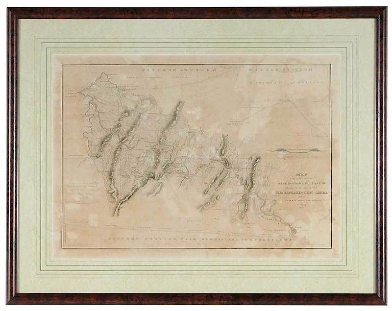
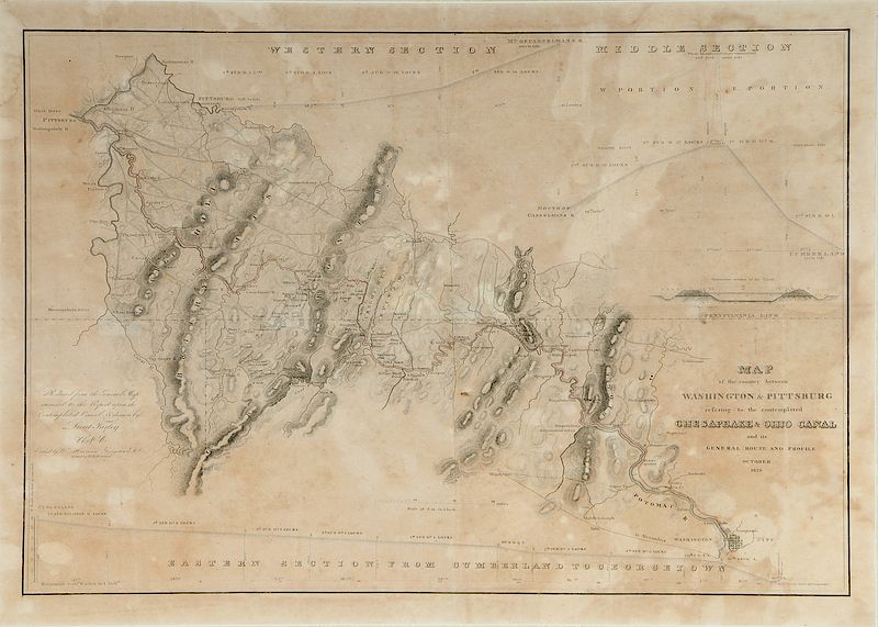
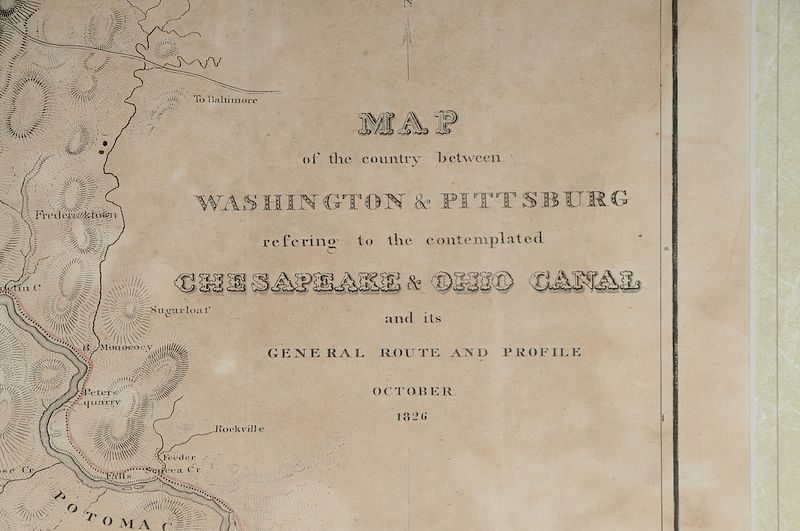
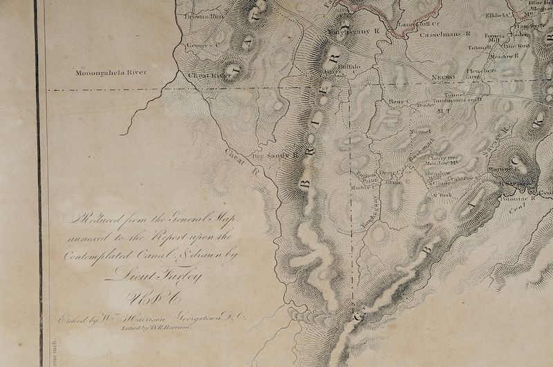
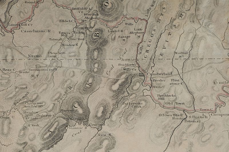
a map of the country between Washington & Pittsburg referring to the contemplated Chesapeake & Ohio Canal and its general route and profile, October, 1826, drawn by Lieut Farley, etched by Wm Harrison, lettered by D.R. Harrison, 19-1/2 x 27 in.; framed, 28 x 38
, Provenance: A Charleston CollectionIn house shipping. Brunk Auctions provides in-house shipping via UPS Ground (signature required) for many items. Brunk Auctions will provide a shipping quote which includes shipping, materials, labor and insurance. Insurance is based on the selling price and premium.
In order to provide an accurate shipping quote please provide the following:
Shipping arrangements are made only after the invoice is paid. The payment for shipping is a separate charge from payment of your lots.
Sales Tax: If you live in North Carolina and/or pick up from the auction house, and do not have a valid resale tax number on file with us, you MUST pay North Carolina state sales tax. The NC Sales Tax will not apply to any items being shipped out of state (unless the client resides in North Carolina) or to those clients with a resale tax number.