Collection of Jean and Jim Barrow | May 20, 2023
Sat, May 20, 2023 09:00AM EDT

| Price | Bid Increment |
|---|---|
| $0 | $25 |
| $100 | $50 |
| $1,000 | $100 |
| $2,000 | $200 |
| $3,000 | $250 |
| $5,000 | $500 |
| $10,000 | $1,000 |
| $20,000 | $2,000 |
| $50,000 | $5,000 |
| $100,000 | $10,000 |
Henry Mouzon (1741-1807) An Accurate Map of North and South Carolina with their Indian Frontiers..., Published May 30th, 1775, Samuel Turner Sparrow (engraver), Robert Sayer (Publisher), John Bennett (Publisher), with inset maps of Charleston Harbor and Port Royal Harbor, originally in four sheets, cut and laid on linen as a working map, engraving on laid paper with hand coloring, 58-1/4 x 41-1/4 in.; figured and inlaid wood frame, 62-1/2 x 45-1/2 in.
Note: Regarded as one of the most significant maps of the Revolutionary War period, Mouzon's map of the Carolinas was consulted by American, English, and French commanders during the Revolution, with the personal copies of figures such as George Washington and Sir Henry Clinton now held in permanent collections. Though little is known about Mouzon's life, his map became a landmark work which was consulted and copied widely after its publication due to its level of detail and accuracy.
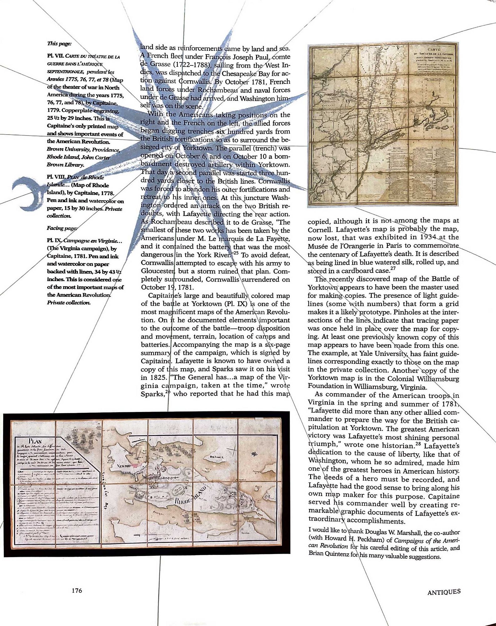
This example was cut and laid on linen as a working map, and was part of a collection which once belonged to Michel Capitaine du Chesnoy, aide-de-camp and cartographer to General Lafayette during the Revolutionary War. The group included six manuscript maps in du Chesnoy’s hand (see Paul Cohen, “Michel Capitaine du Chesnoy, the marquis de Lafayette’s cartographer” in The Magazine Antiques, January 1998, pg. 171-177), as well as several other printed working maps of America mounted on linen, among them this example and Bernard Ratzer’s exceedingly rare 1776 Plan of the City of New York, which sold at Christie’s in January 2022 for $625,000.
Literature: Cumming, William, North Carolina in Maps, pp. 21-22; Cumming, William, The Southeast in Early Maps, #450, pp. 449-450; Pritchard and Taliaferro, Degrees of Latitude: Mapping Colonial America, #44, figures 163, 164, pp. 208-211.
dissected and laid on linen, period color, scattered light toning and staining, taped down on mat backing with archival tape (verso not fully examined); frame with light wear and abrasions
Purchased items will be available for pick up or shipping from our Asheville, North Carolina auction facility within ten business days of the auction will be assessed a storage fee of $5.00 per day, per item. Purchaser agrees that packing and shipping is done at the purchaser's risk and that the purchaser will pay in advance all packing expenses, materials, carrier fees and insurance charges. At our discretion, items will either be packed by an agent such as a packaging store or Brunk Auctions. Please allow two weeks for shipping after payment is received. Shipment of large items is the responsibility of the purchaser. We are happy to provide names of carriers and shippers if a purchaser so requests. Brunk Auctions will have no liability for any loss or damage to shipped items.
Collection of Michel Capitaine du Chesnoy; Richard B. Arkway, Inc.; Collection of Jean and Jim Barrow