Emporium Auctions
Thu, Mar 24, 2022 09:00AM EDT

| Price | Bid Increment |
|---|---|
| $0 | $25 |
| $100 | $50 |
| $1,000 | $100 |
| $2,000 | $200 |
| $3,000 | $250 |
| $5,000 | $500 |
| $10,000 | $1,000 |
| $20,000 | $2,000 |
| $50,000 | $5,000 |
| $100,000 | $10,000 |
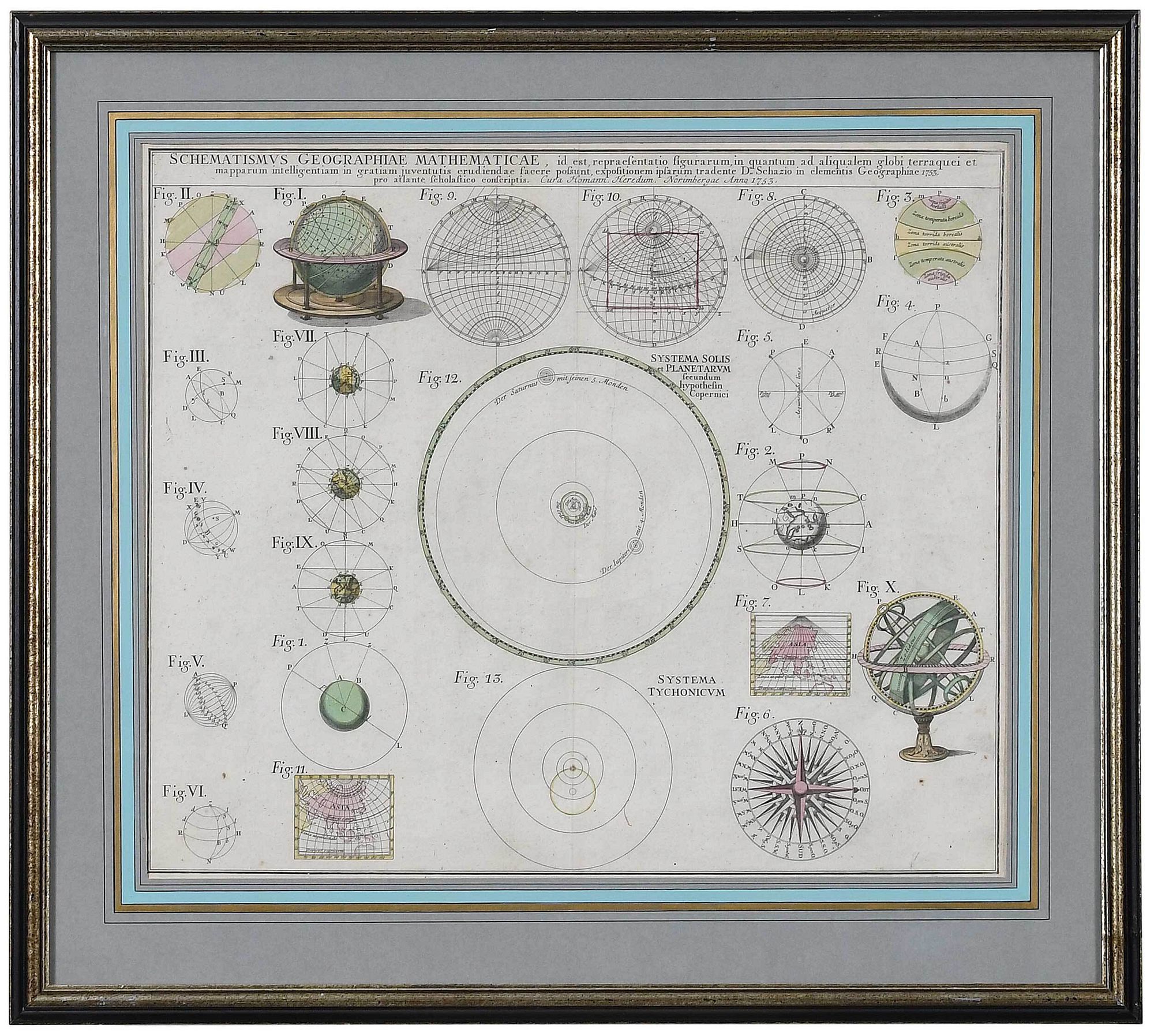
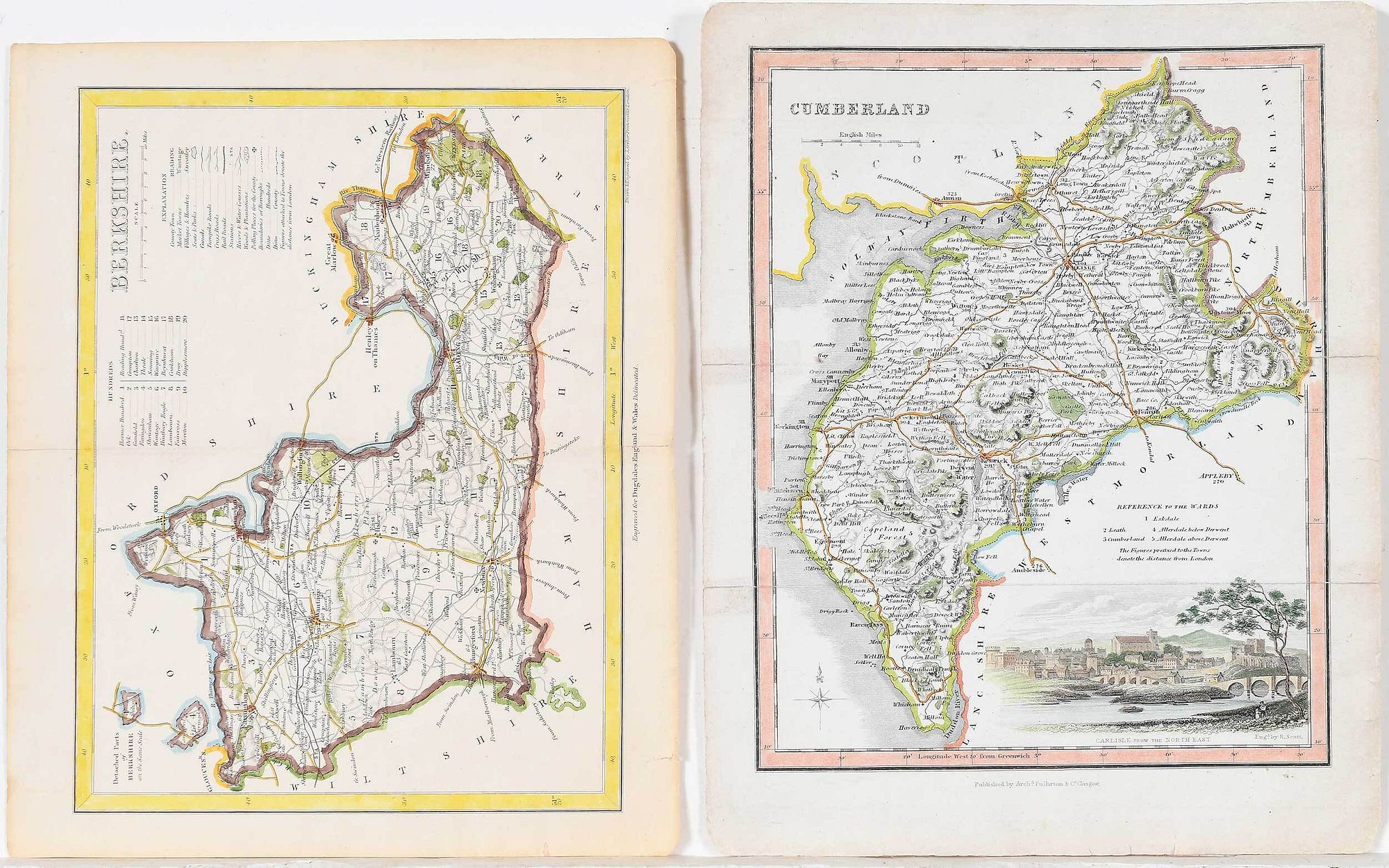
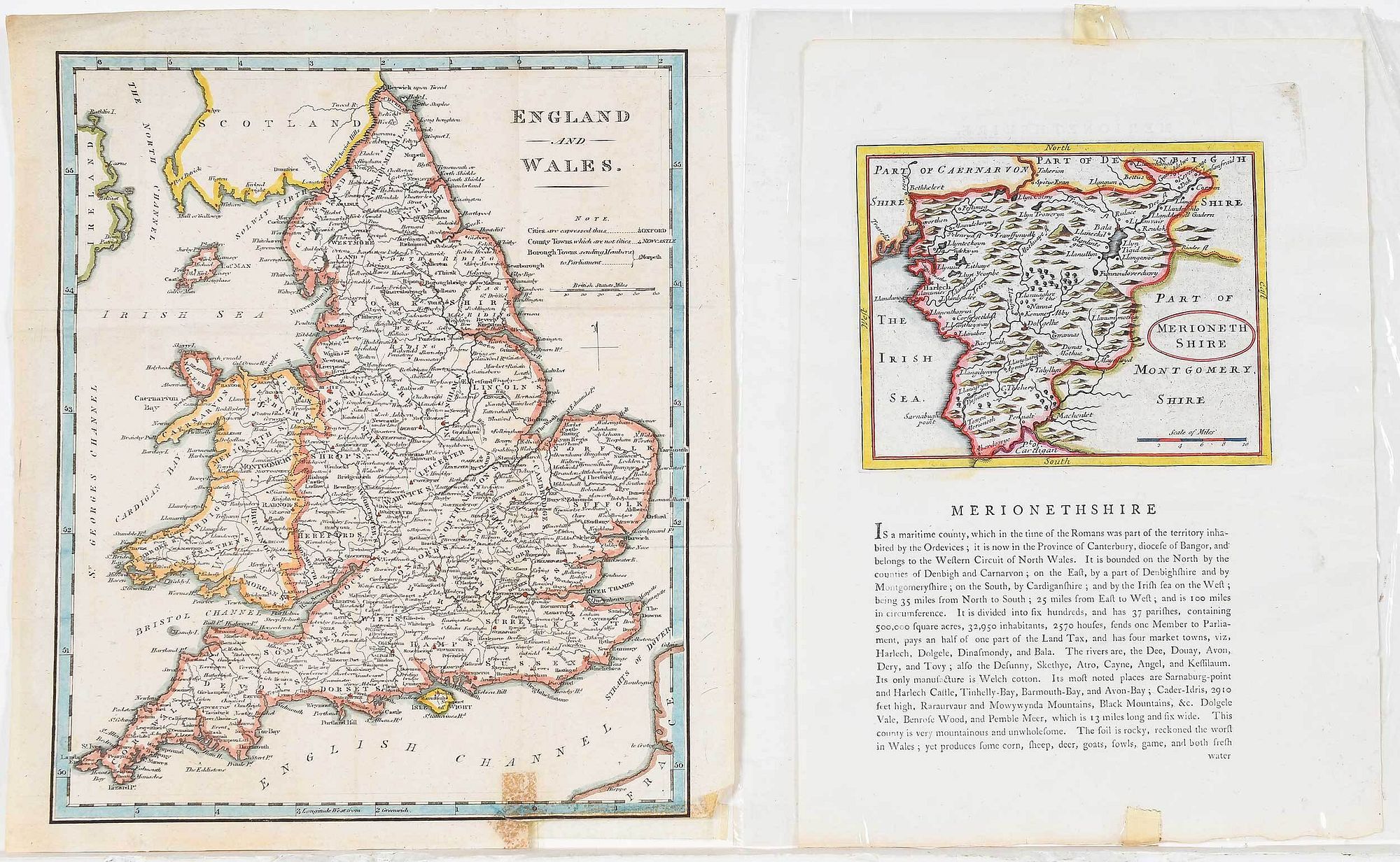
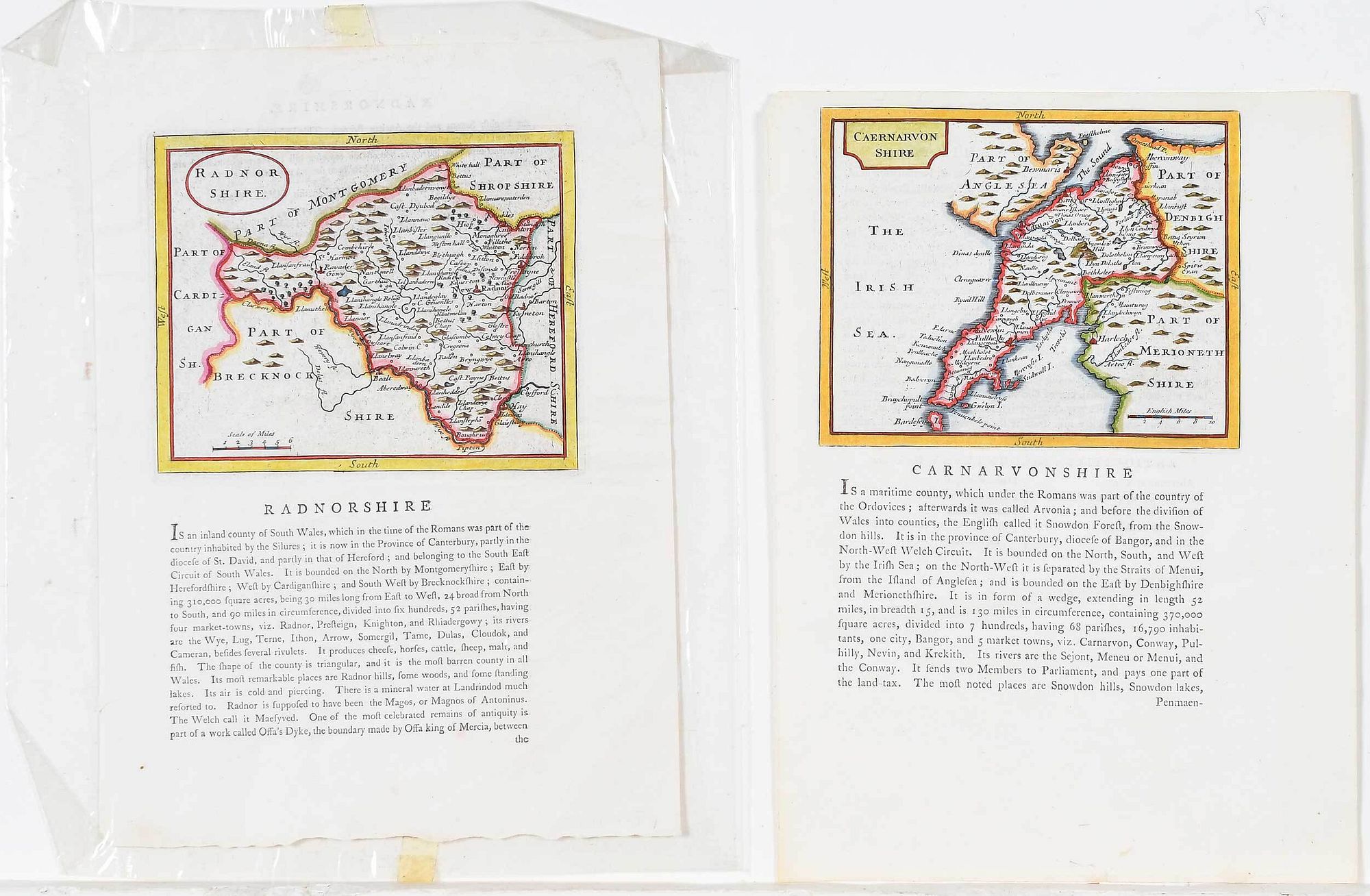
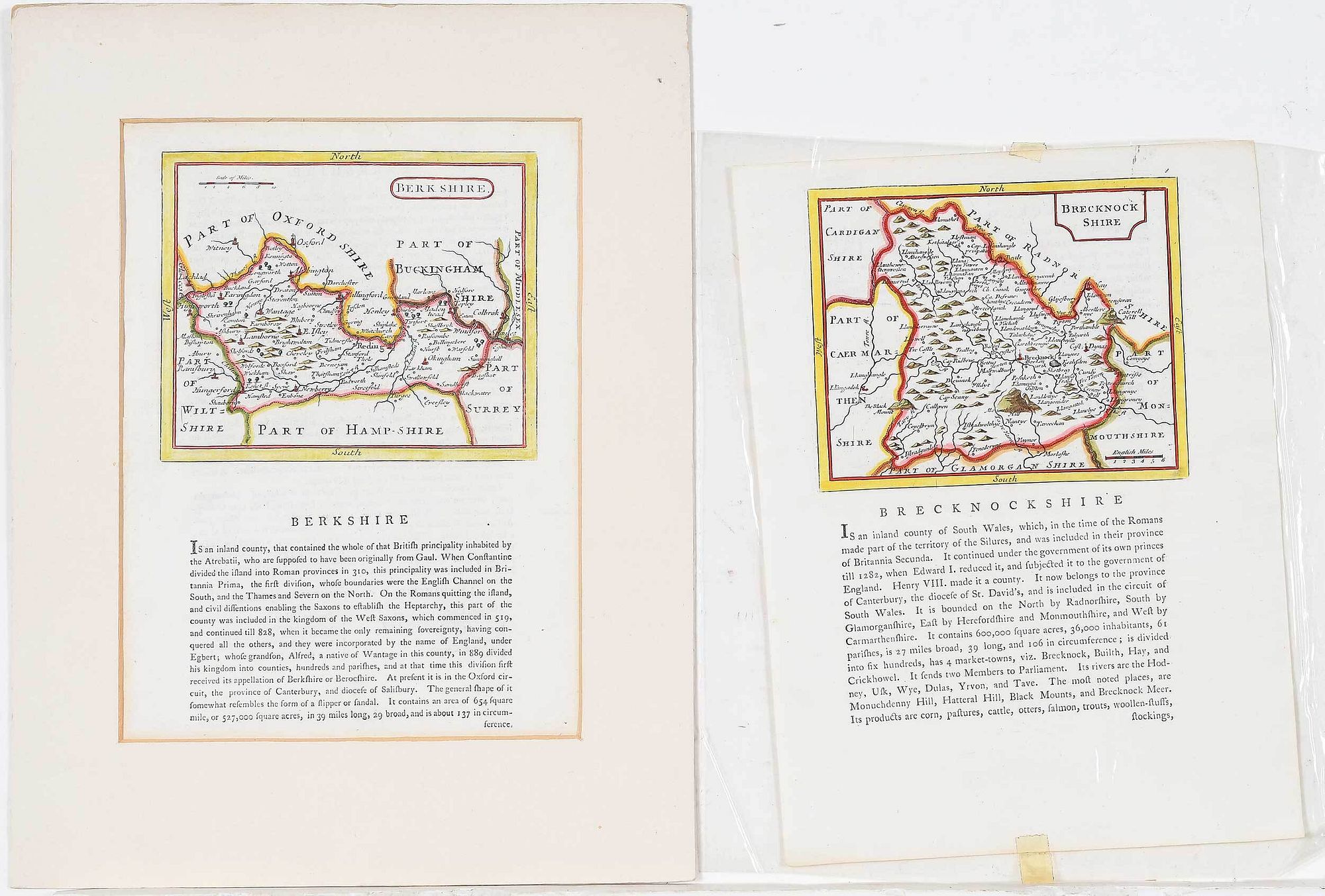
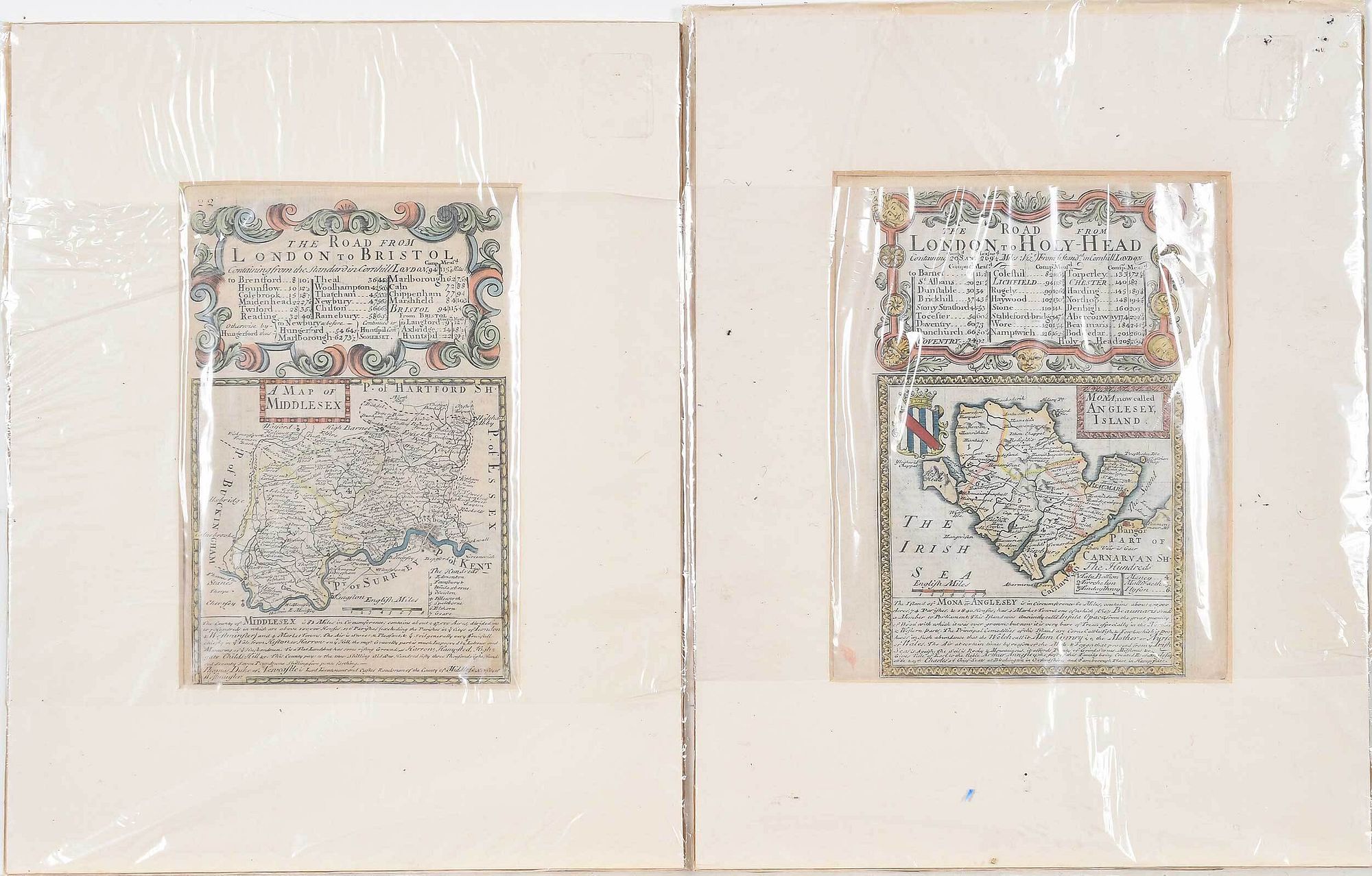
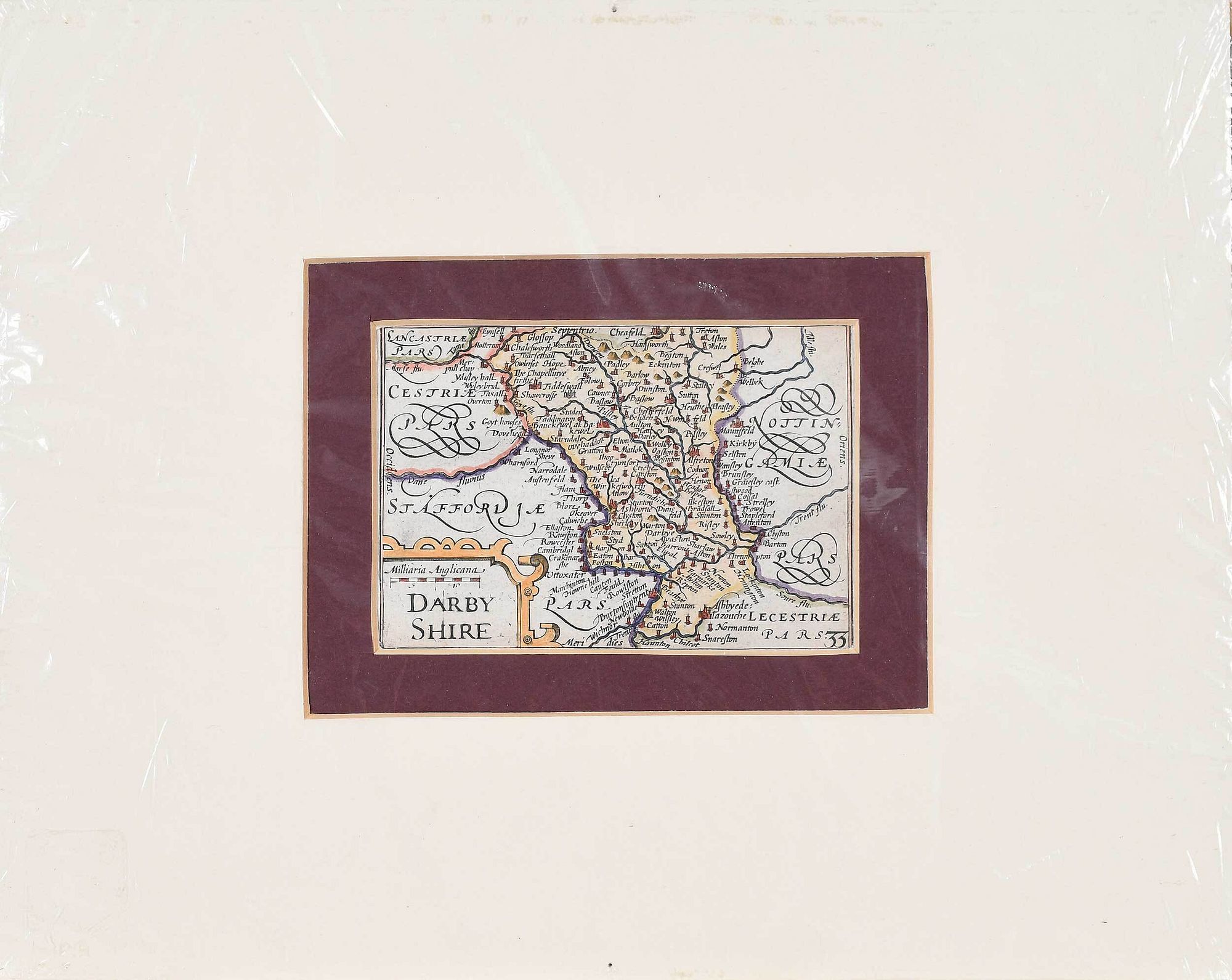
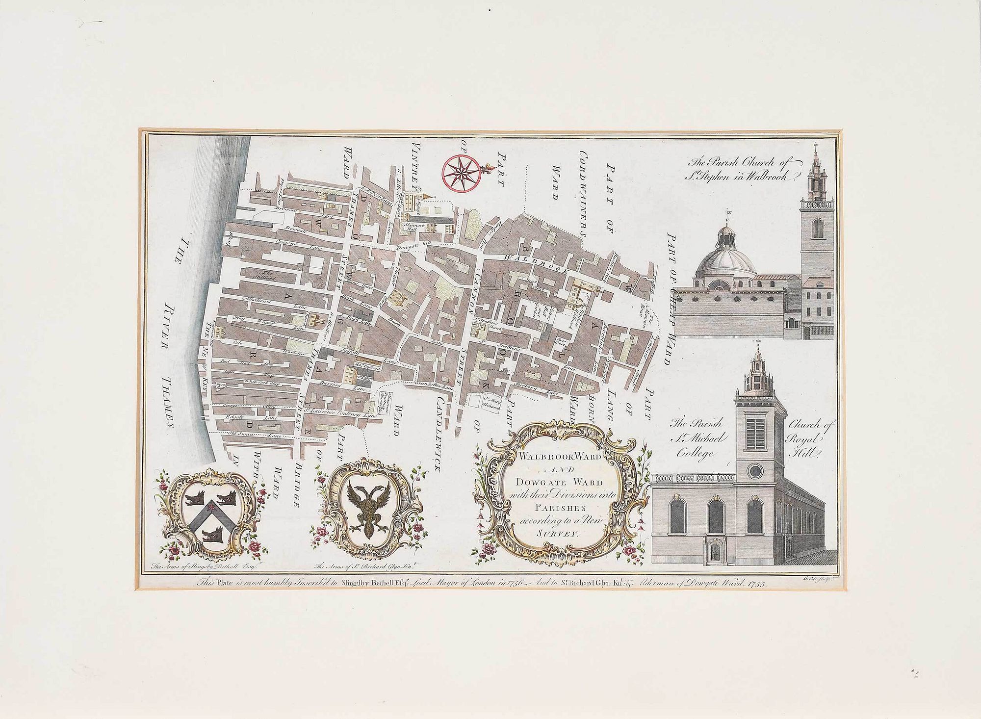
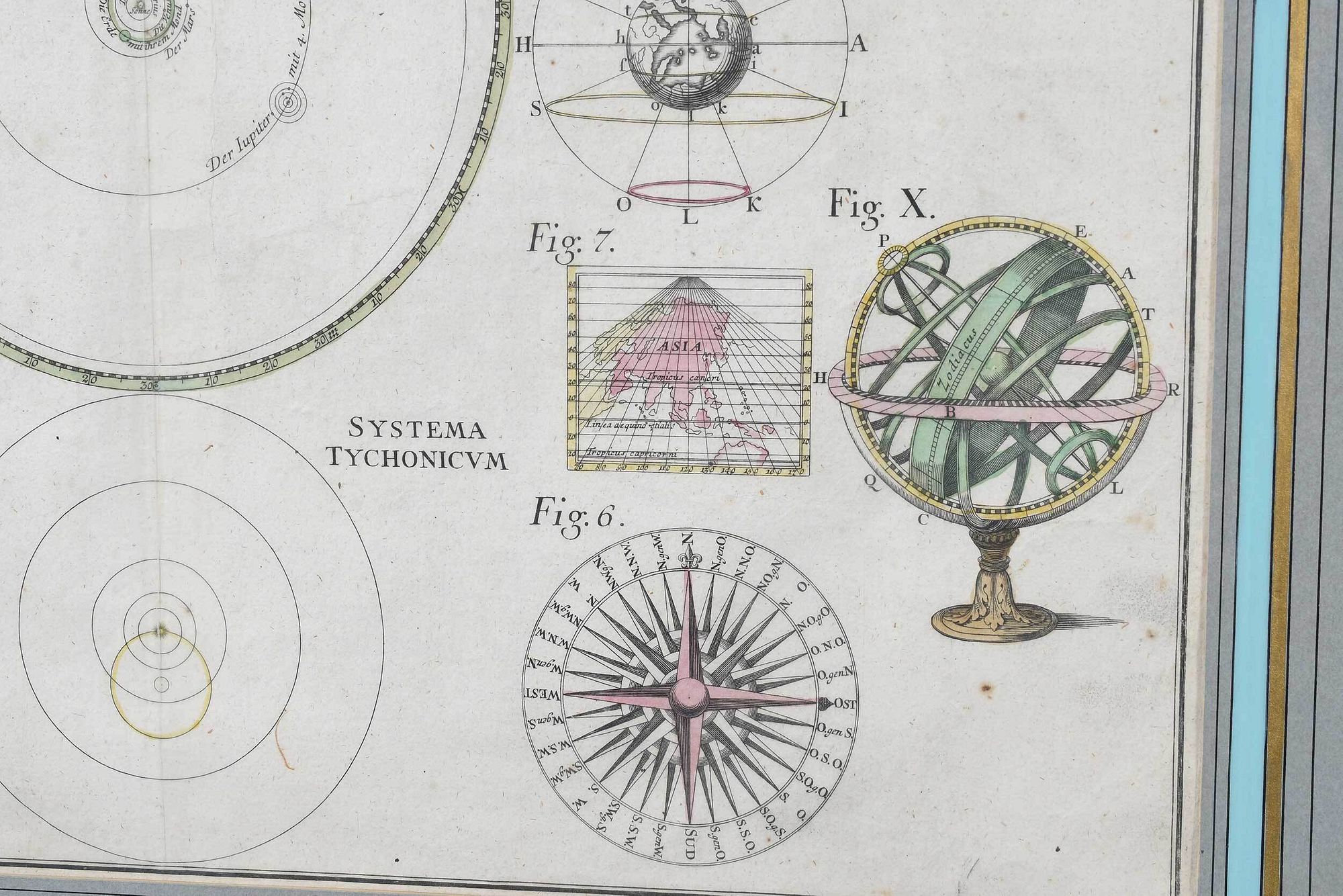
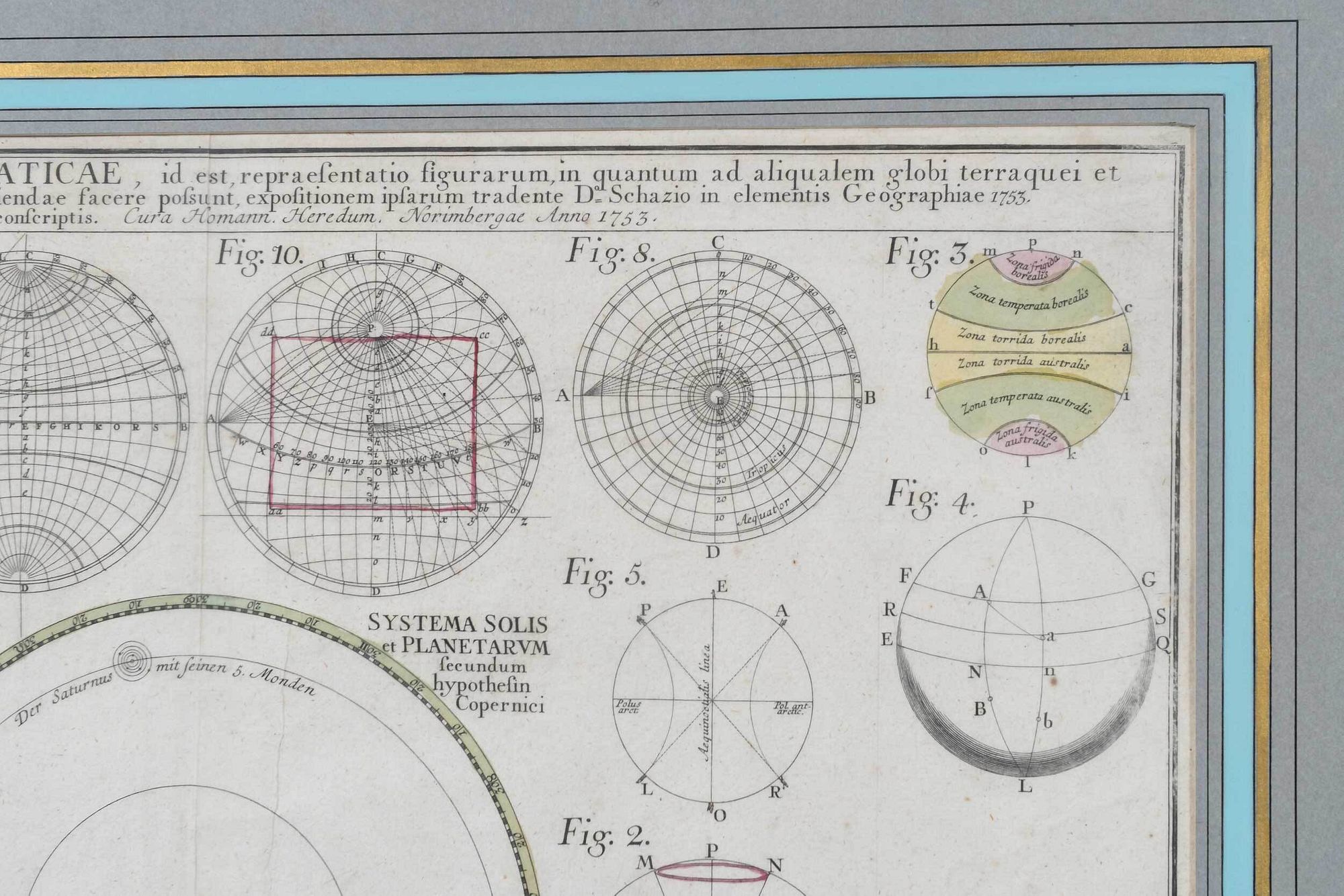
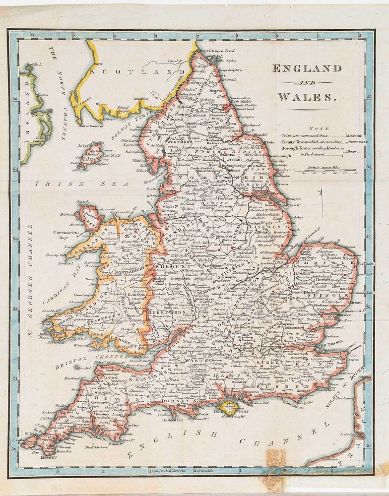
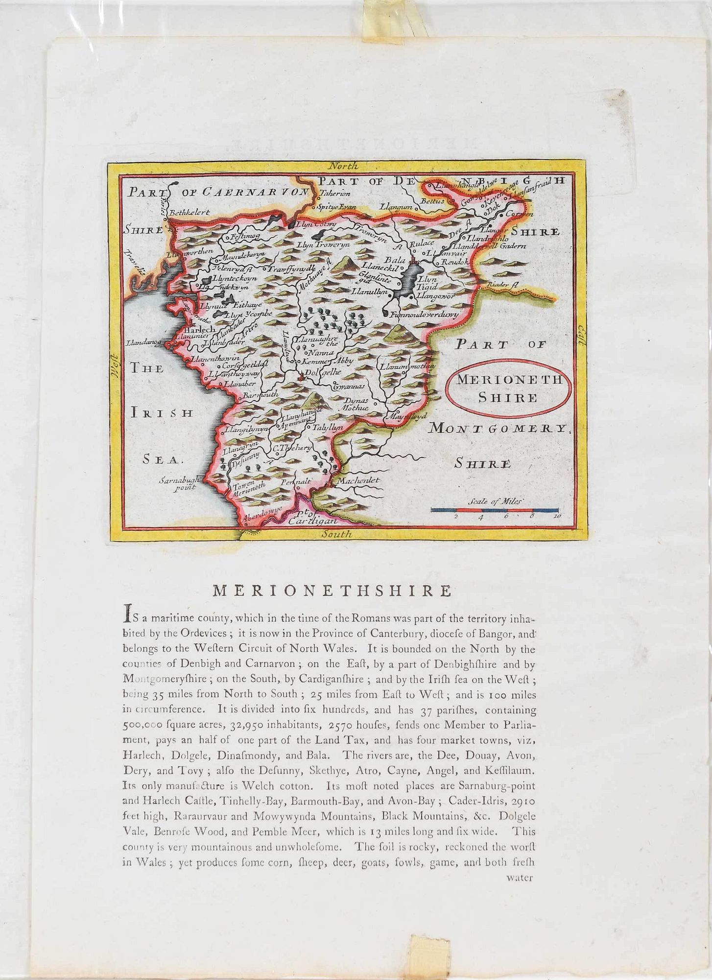
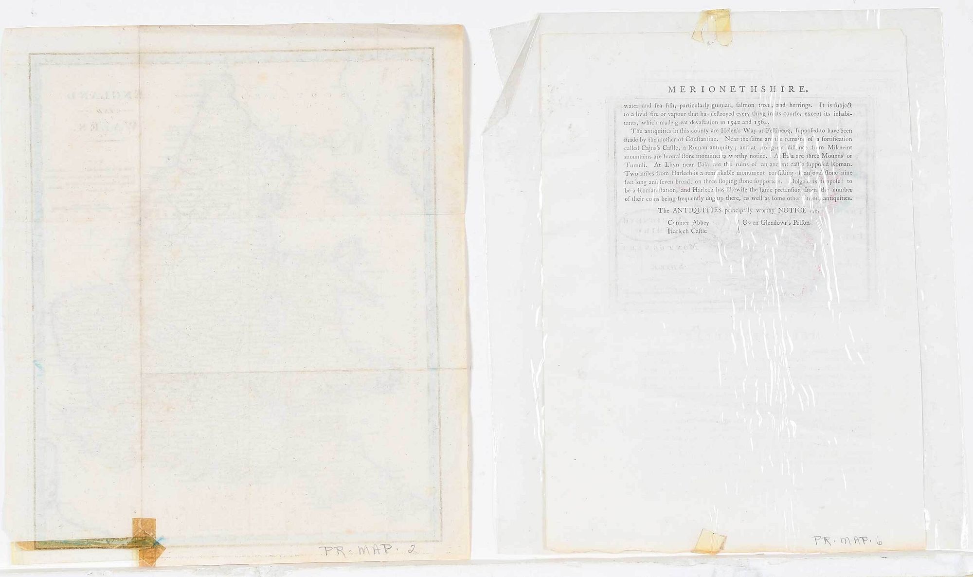
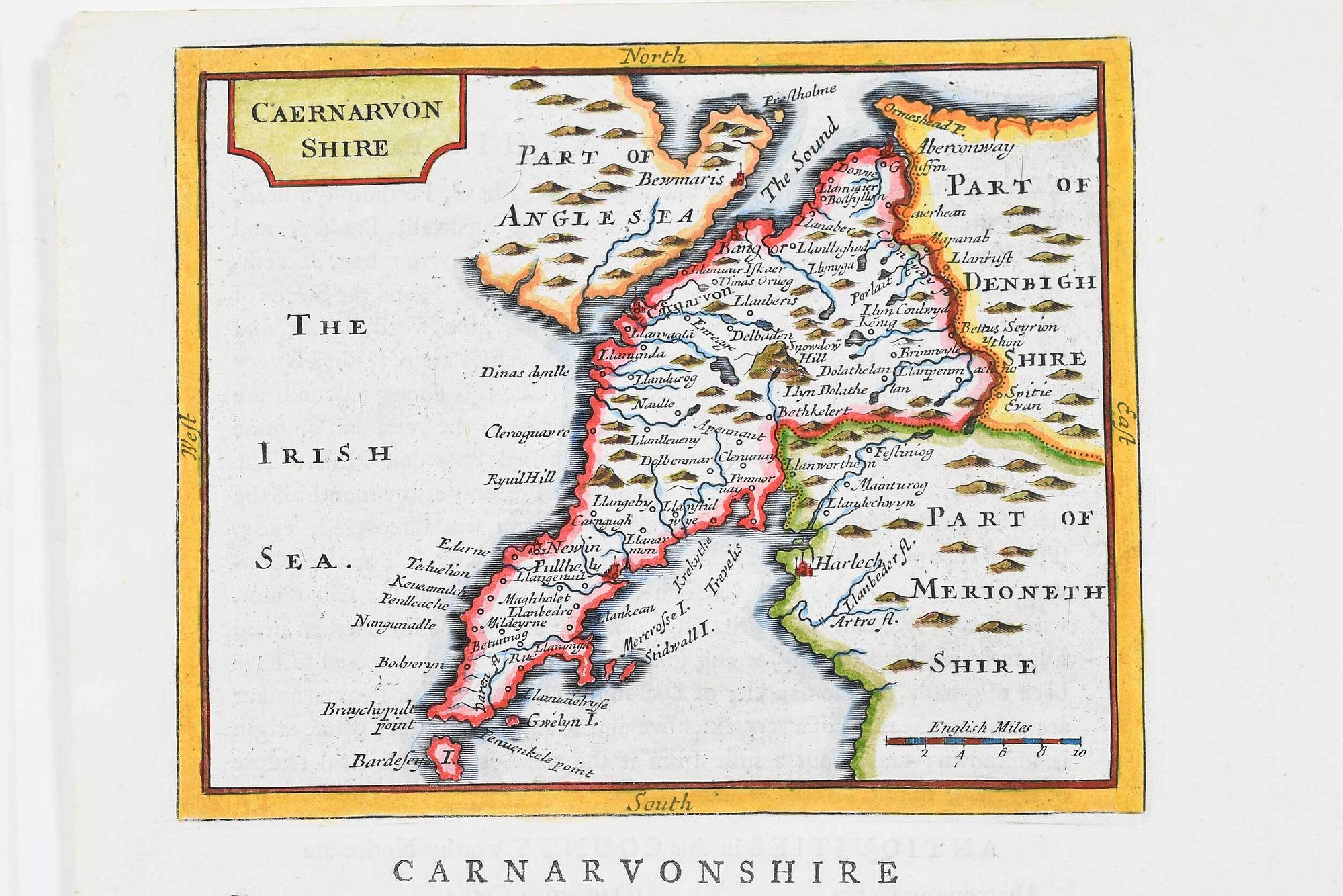
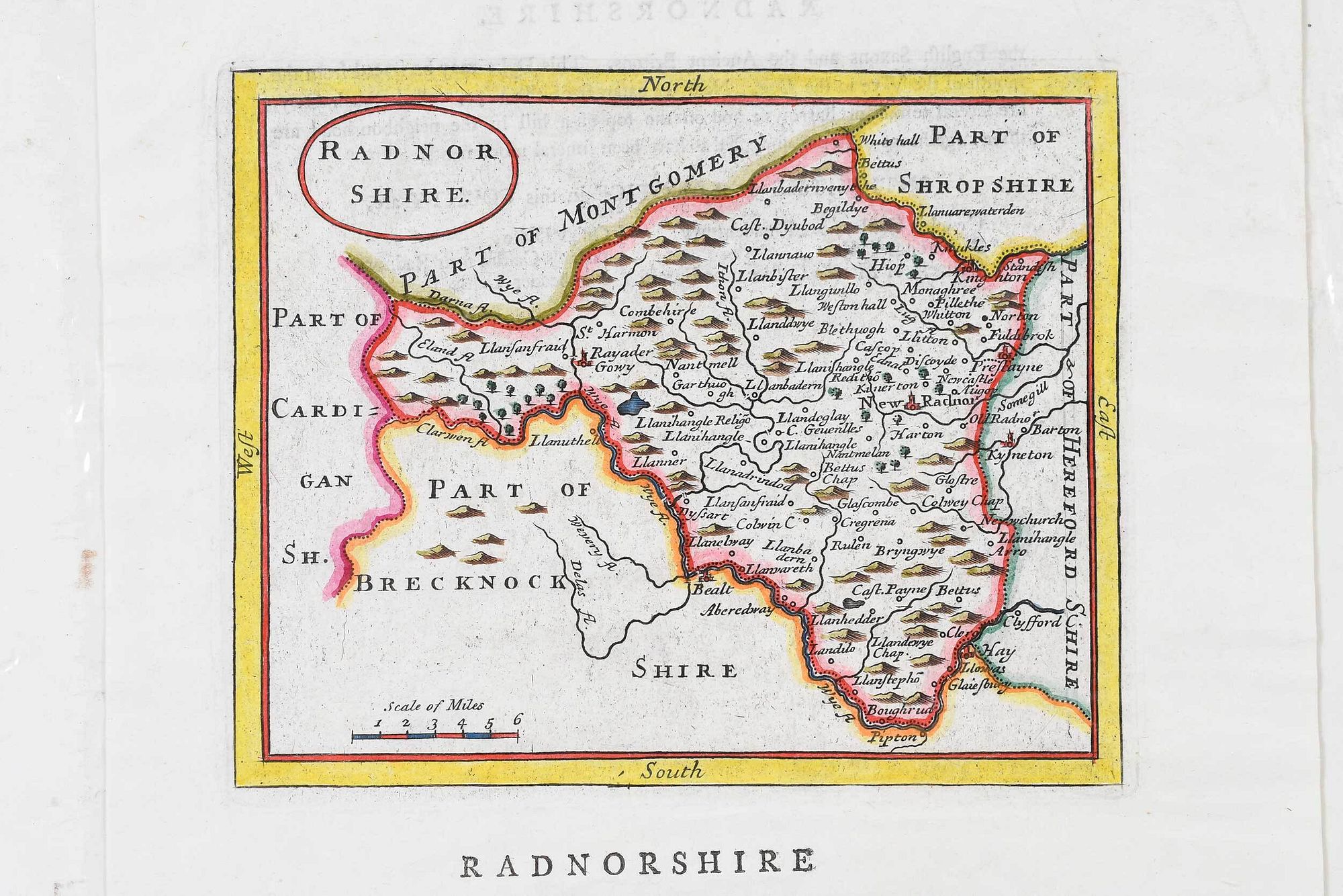
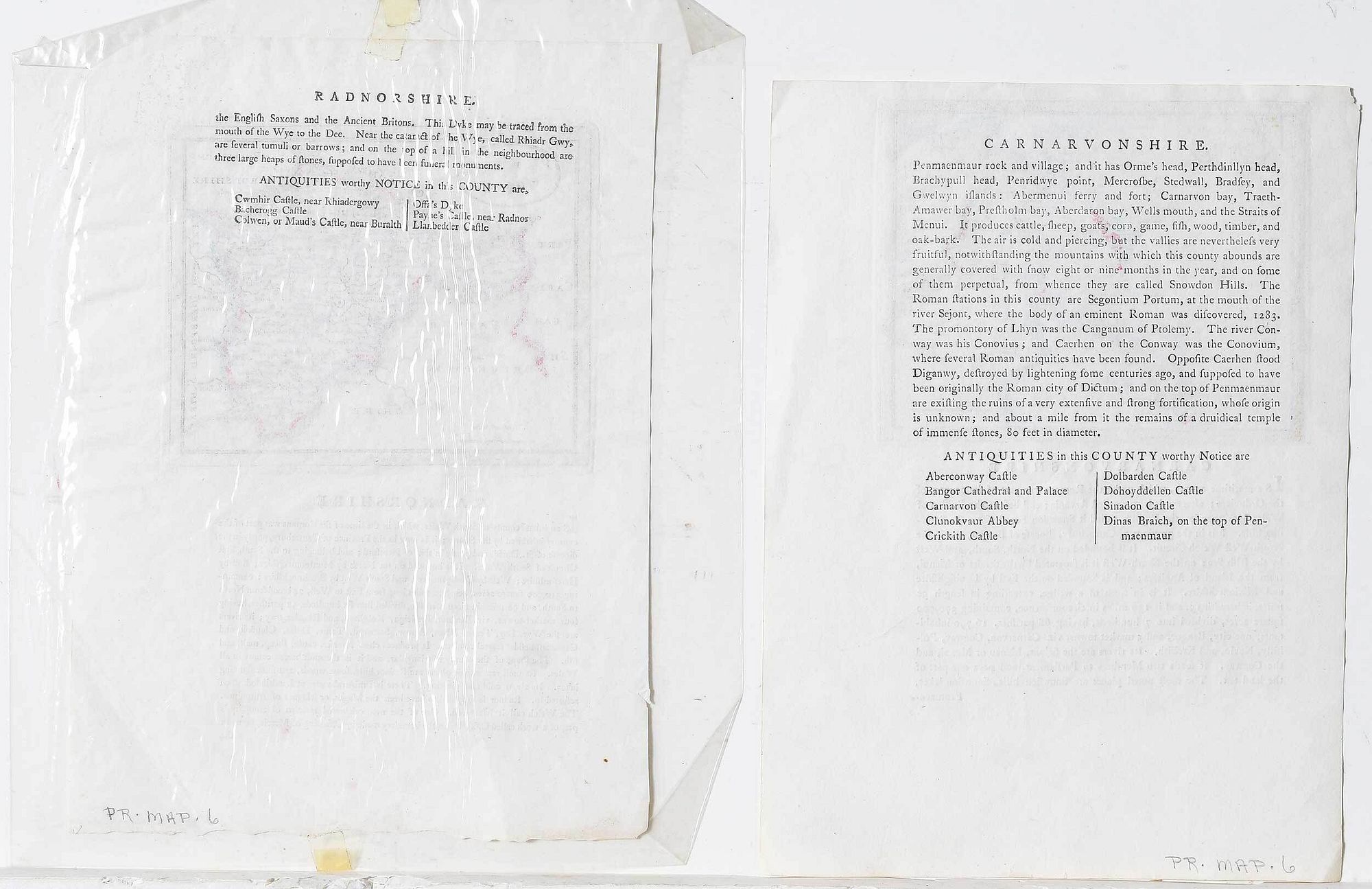
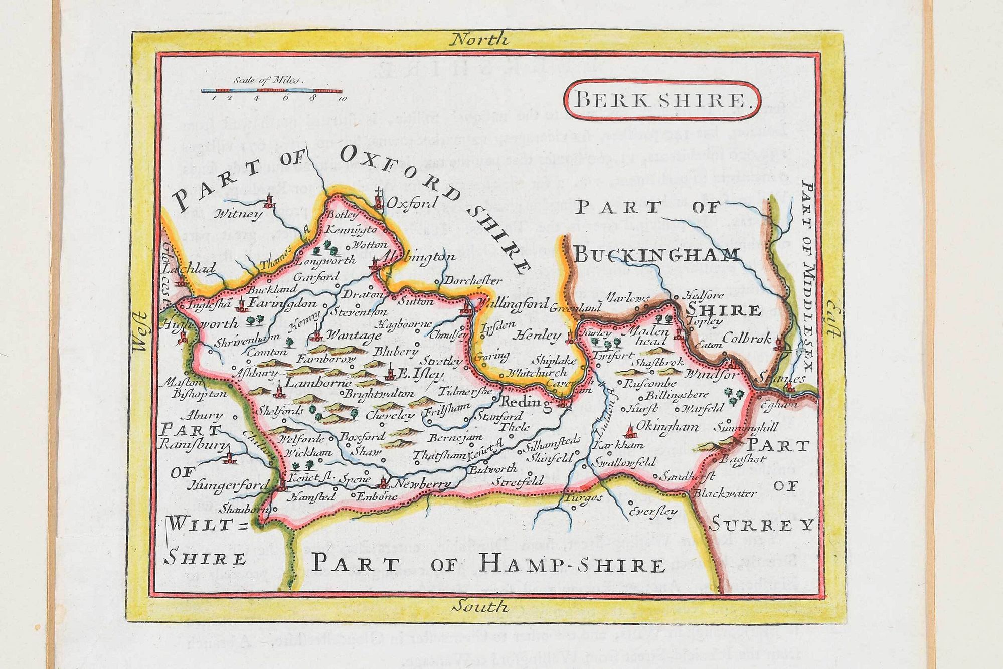
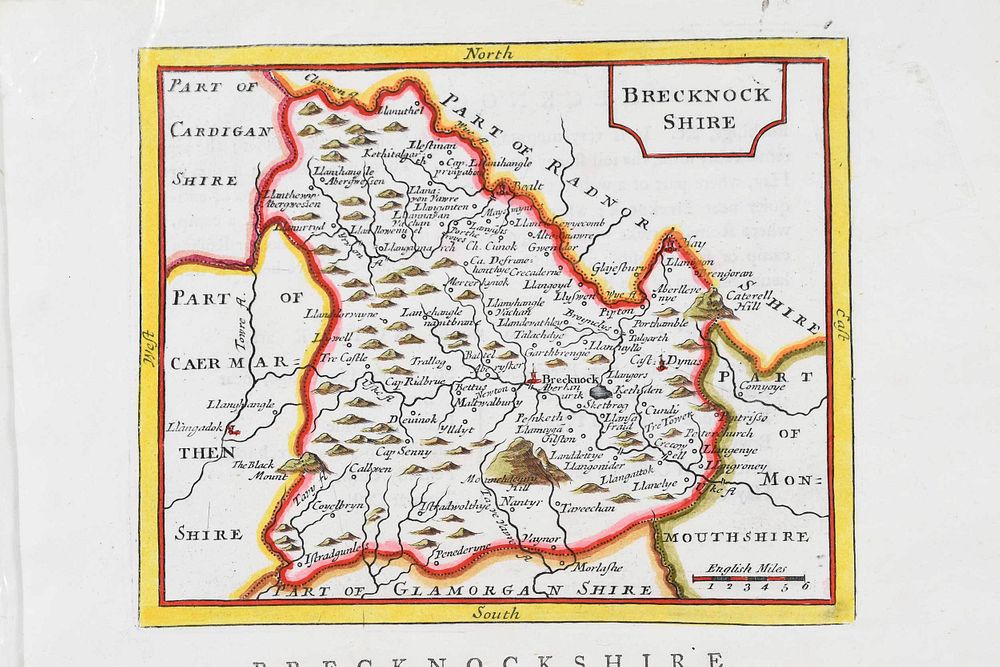
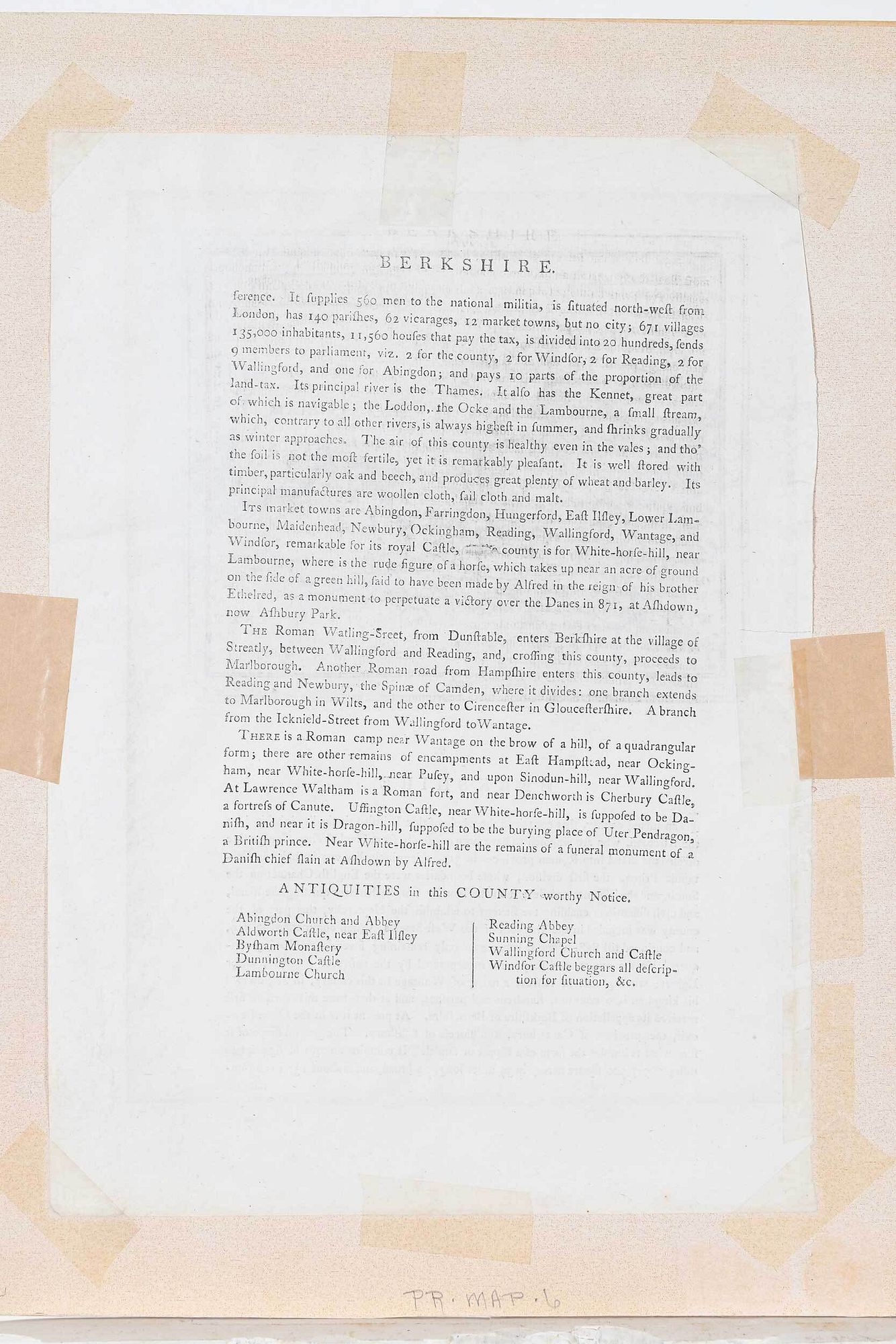
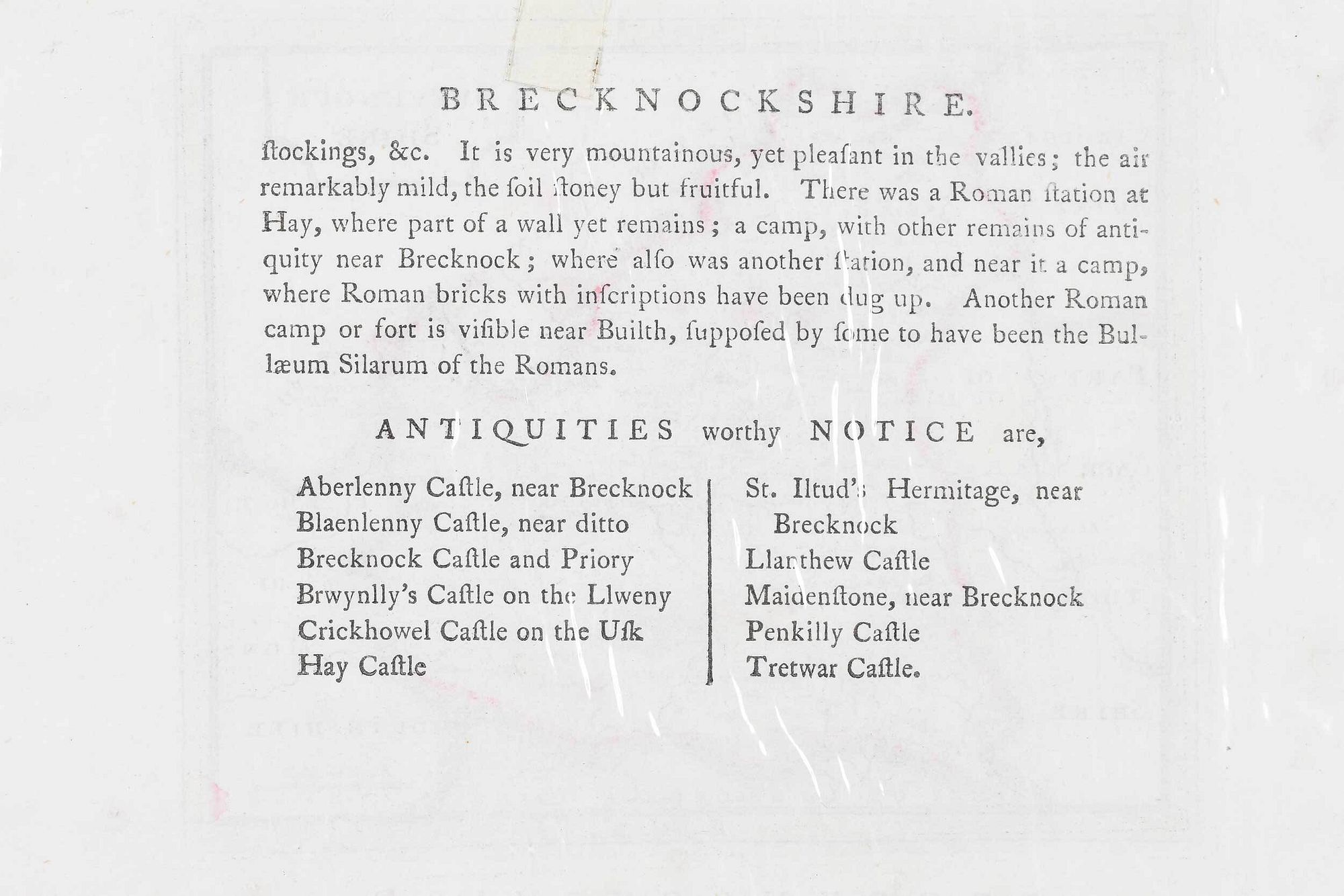
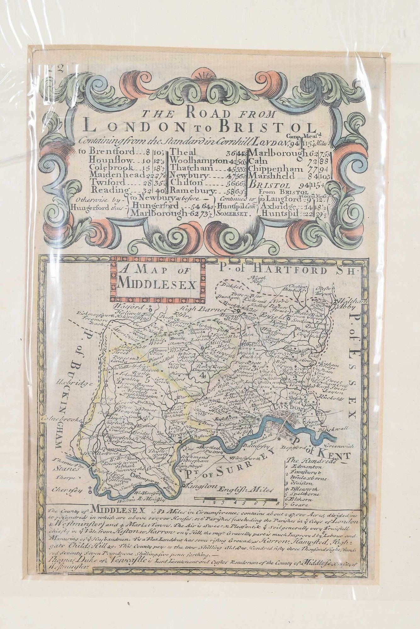
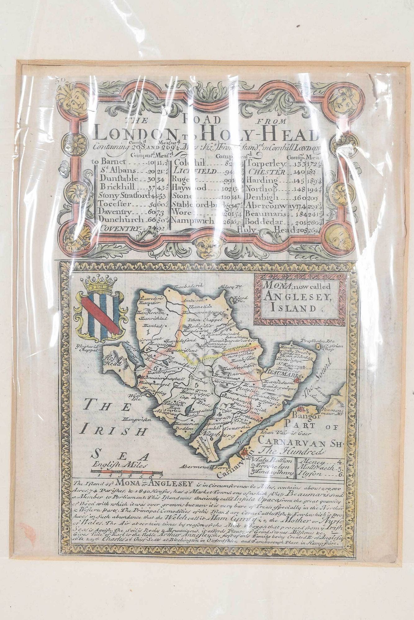
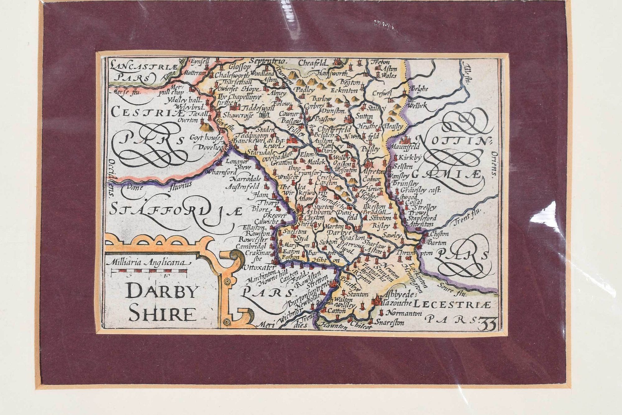
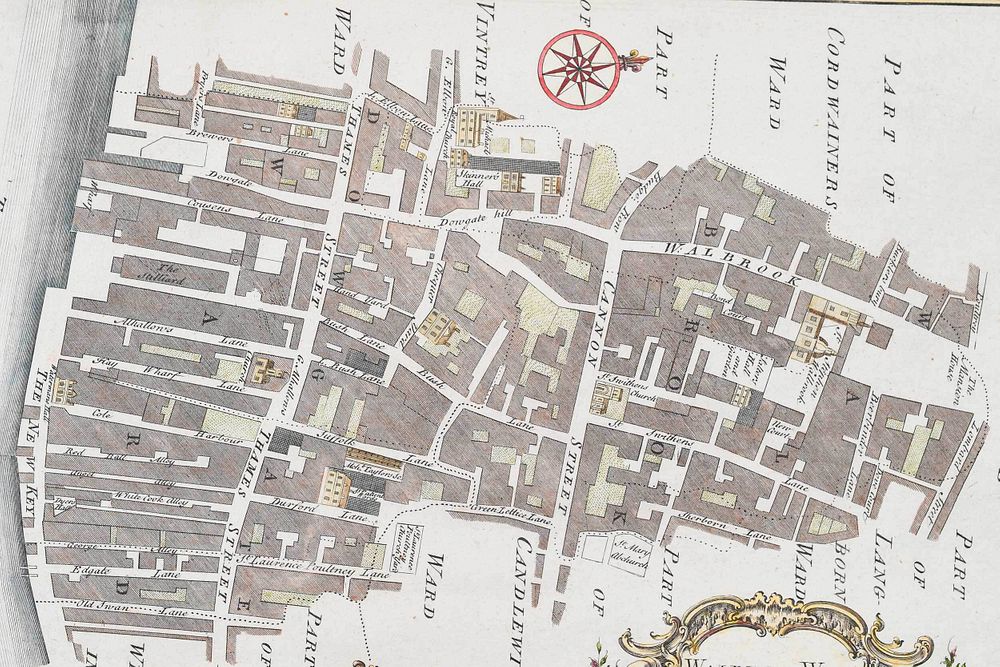
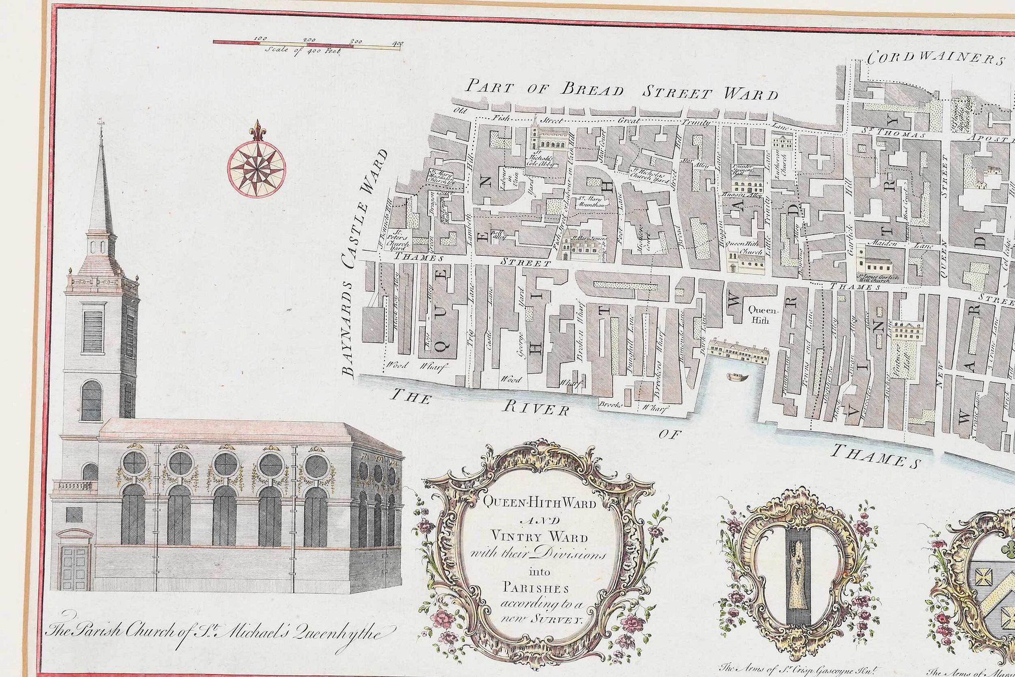
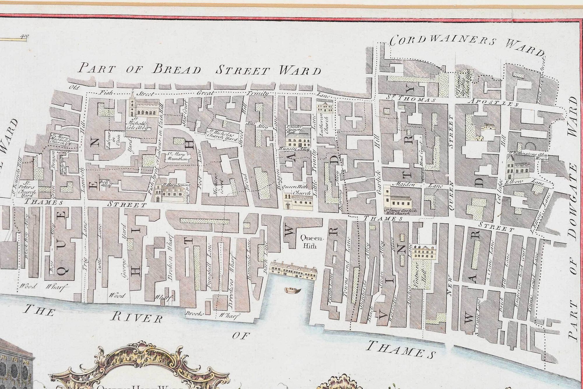
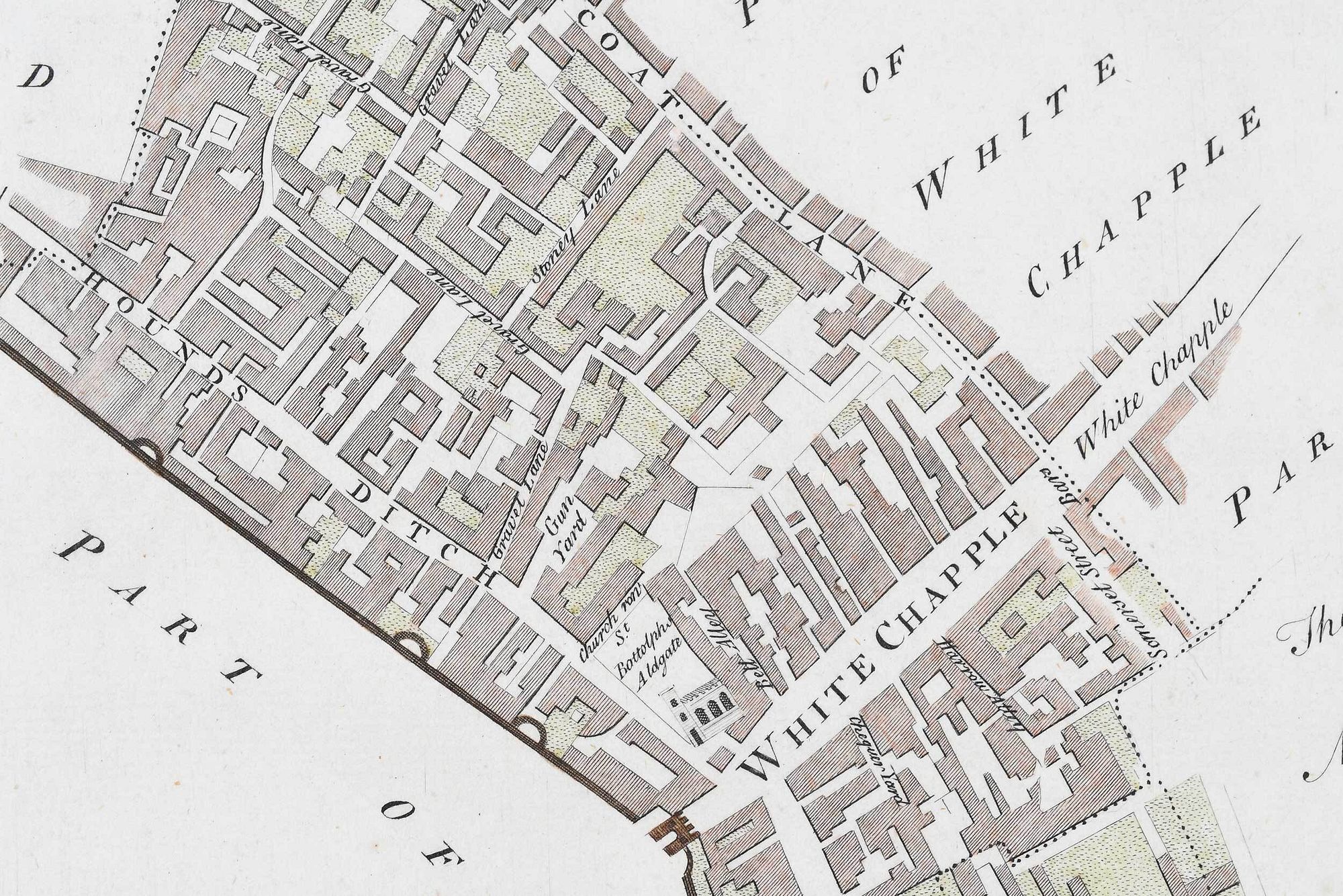
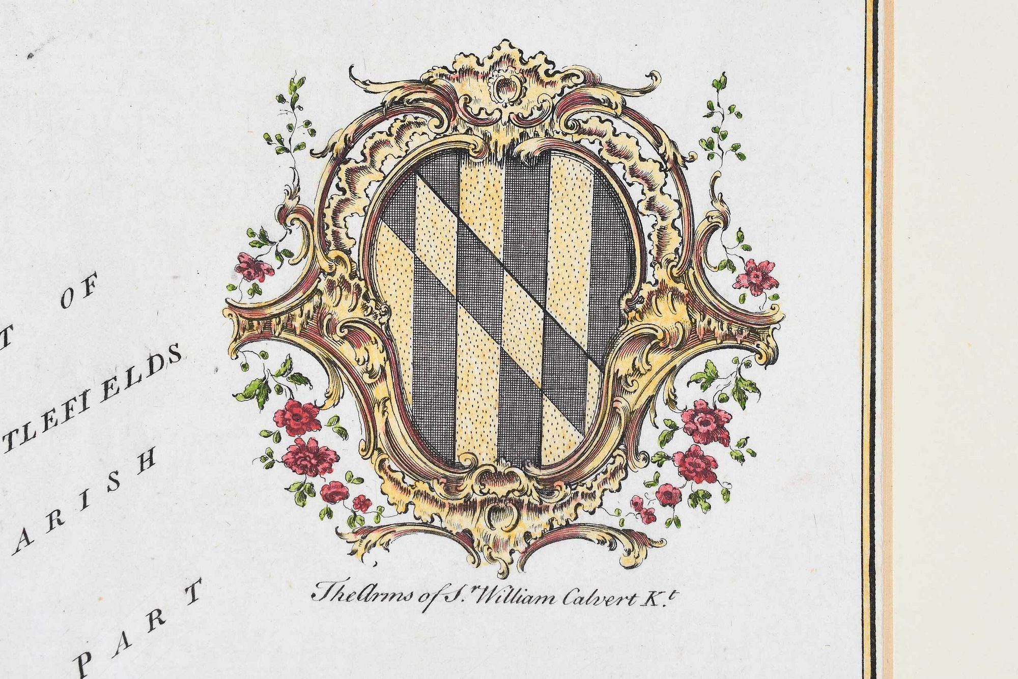
17th-19th century, engravings on laid or wove paper, all with hand colored highlights, comprising: John Speed, Darby Shire, London, circa 1630-1640, engraved by Peter Van Den Keere; John Owen & Emanuel Bowen, two maps from Britannia Depicta or Ogilby Improved, including A Map of Middlesex and Mona, Now Called Anglesey Island, circa 1720-1730; Benjamin Cole, three maps of wards of London including Walbrook Ward and Dowgate Ward, Queen Hith Ward and Vintry Ward, and Portsoken Ward, circa 1755; Archibald Fullarton & Co., Cumberland, Glasgow, circa 1840s; John Archer, Berkshire, circa 1840s, engraved for Dugdale's England & Wales Delineated; five 19th century county maps, including Berkshire, Brecknockshire, Carnarvonshire, Radnorshire, and Merionethshire; 19th century England and Wales map; all unframed, some matted, largest mat 14-3/4 x 20 in.; together with Homann Heirs, Schematismus Geographiae Mathematicae..., Nuremberg, 1753, sight 18 x 21-1/2 in.; carved, painted, and gilt wood frame, 25-1/8 x 28-1/4 in.
Provenance: The Important Private Collection of a Rocky Mountain Couple
toning and scattered light staining throughout, wear and small tears to edges, not examined under mats, some tape remnants; Mona with some tears along mat edges; Schematismus Geographiae Mathematicae... not examined out of frame, frame with light wear and abrasions
Purchased items will be available for pick up or shipping from our Asheville, North Carolina auction facility within ten business days of the auction will be assessed a storage fee of $5.00 per day, per item. Purchaser agrees that packing and shipping is done at the purchaser's risk and that the purchaser will pay in advance all packing expenses, materials, carrier fees and insurance charges. At our discretion, items will either be packed by an agent such as a packaging store or Brunk Auctions. Please allow two weeks for shipping after payment is received. Shipment of large items is the responsibility of the purchaser. We are happy to provide names of carriers and shippers if a purchaser so requests. Brunk Auctions will have no liability for any loss or damage to shipped items.