Premier Auction - Session II | November 12, 2022
Sat, Nov 12, 2022 09:00AM EST

| Price | Bid Increment |
|---|---|
| $0 | $25 |
| $100 | $50 |
| $1,000 | $100 |
| $2,000 | $200 |
| $3,000 | $250 |
| $5,000 | $500 |
| $10,000 | $1,000 |
| $20,000 | $2,000 |
| $50,000 | $5,000 |
| $100,000 | $10,000 |
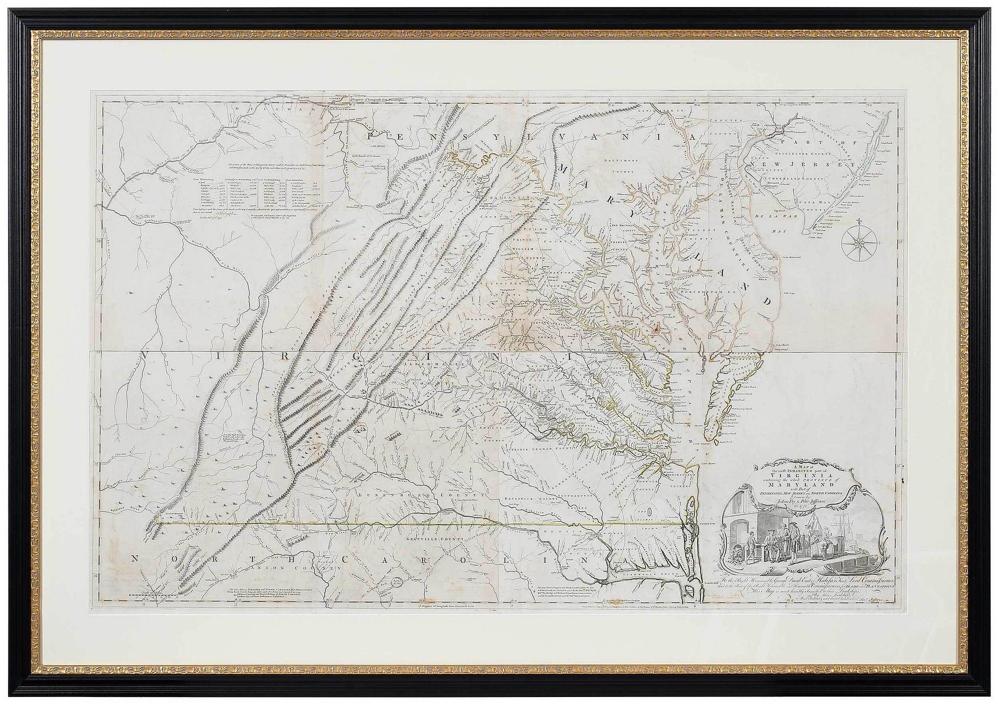
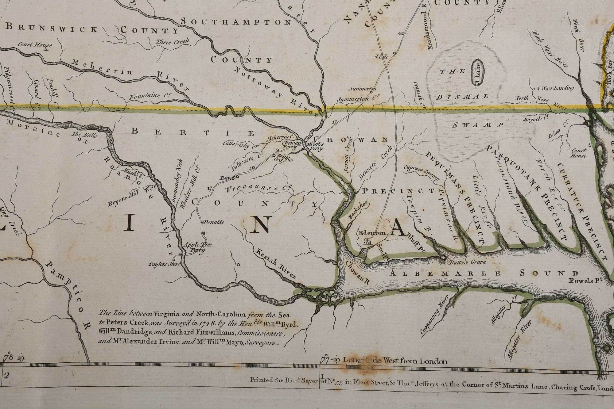
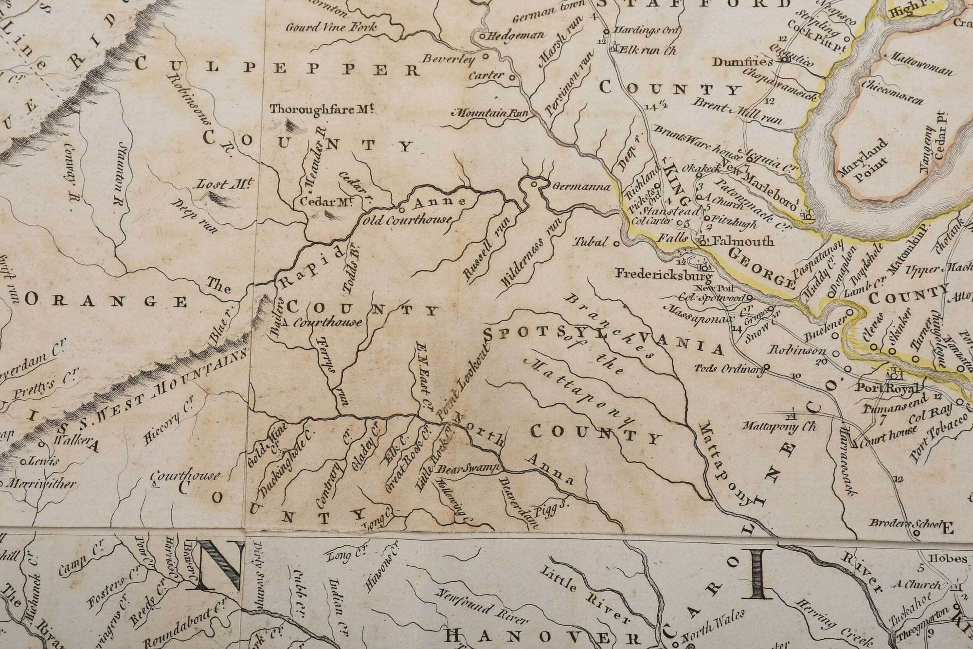
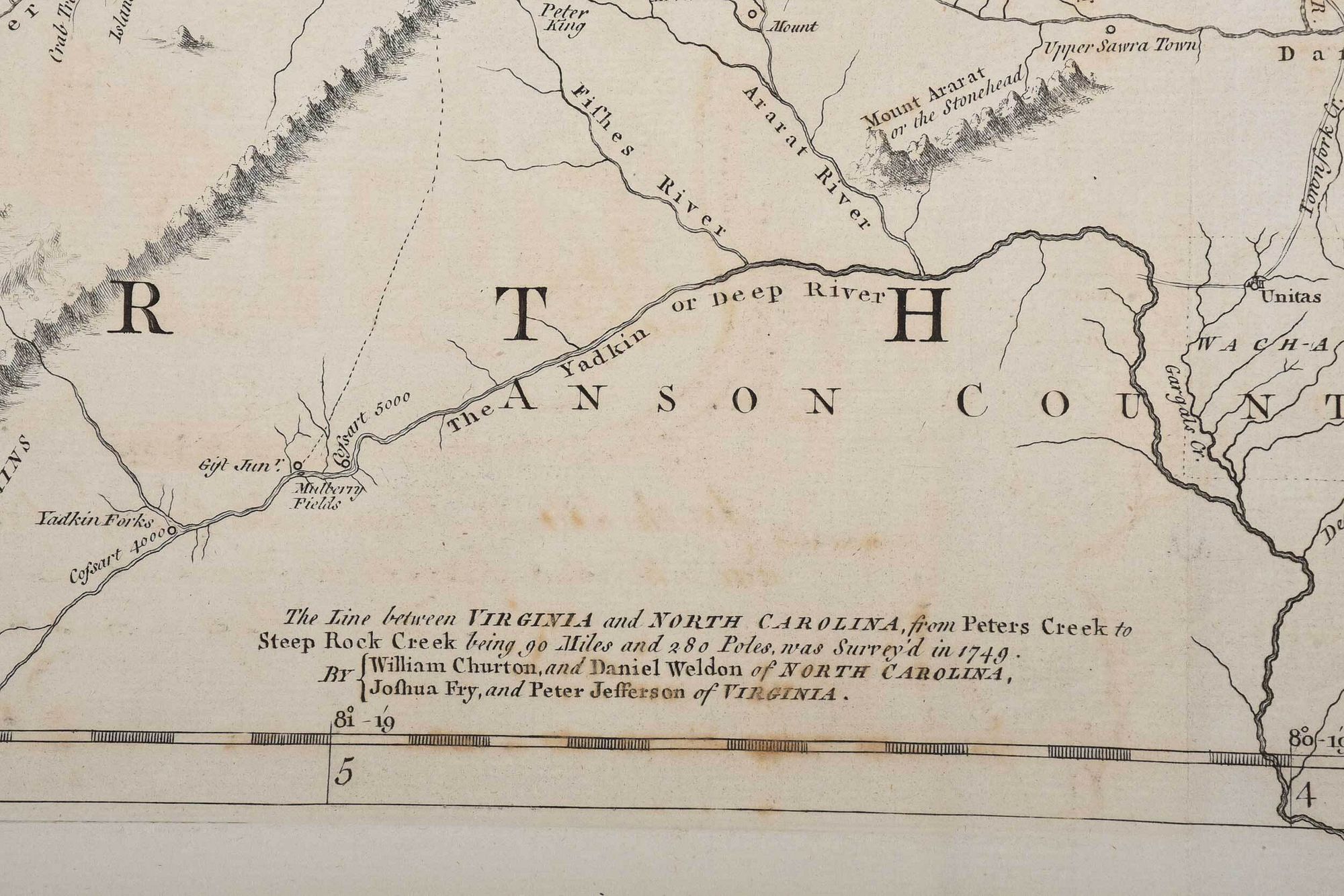
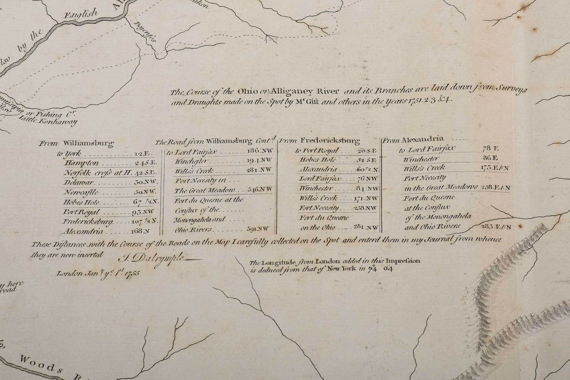
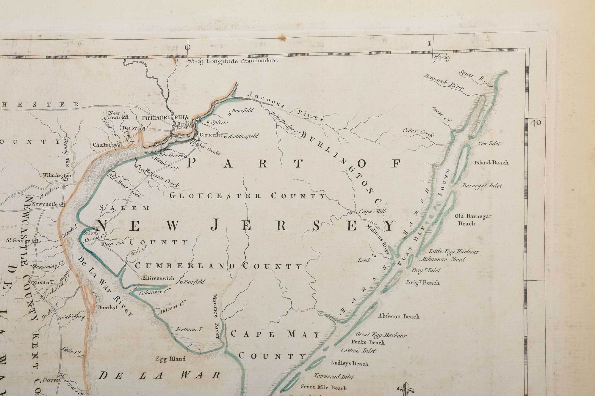
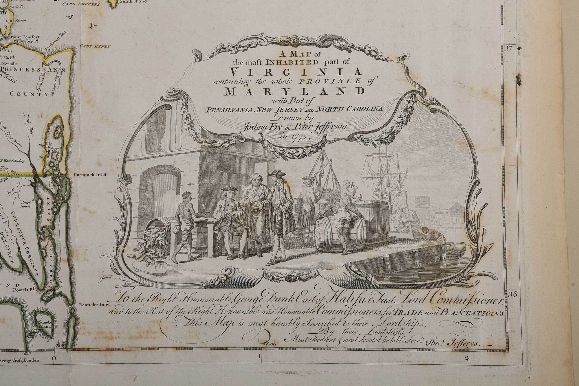
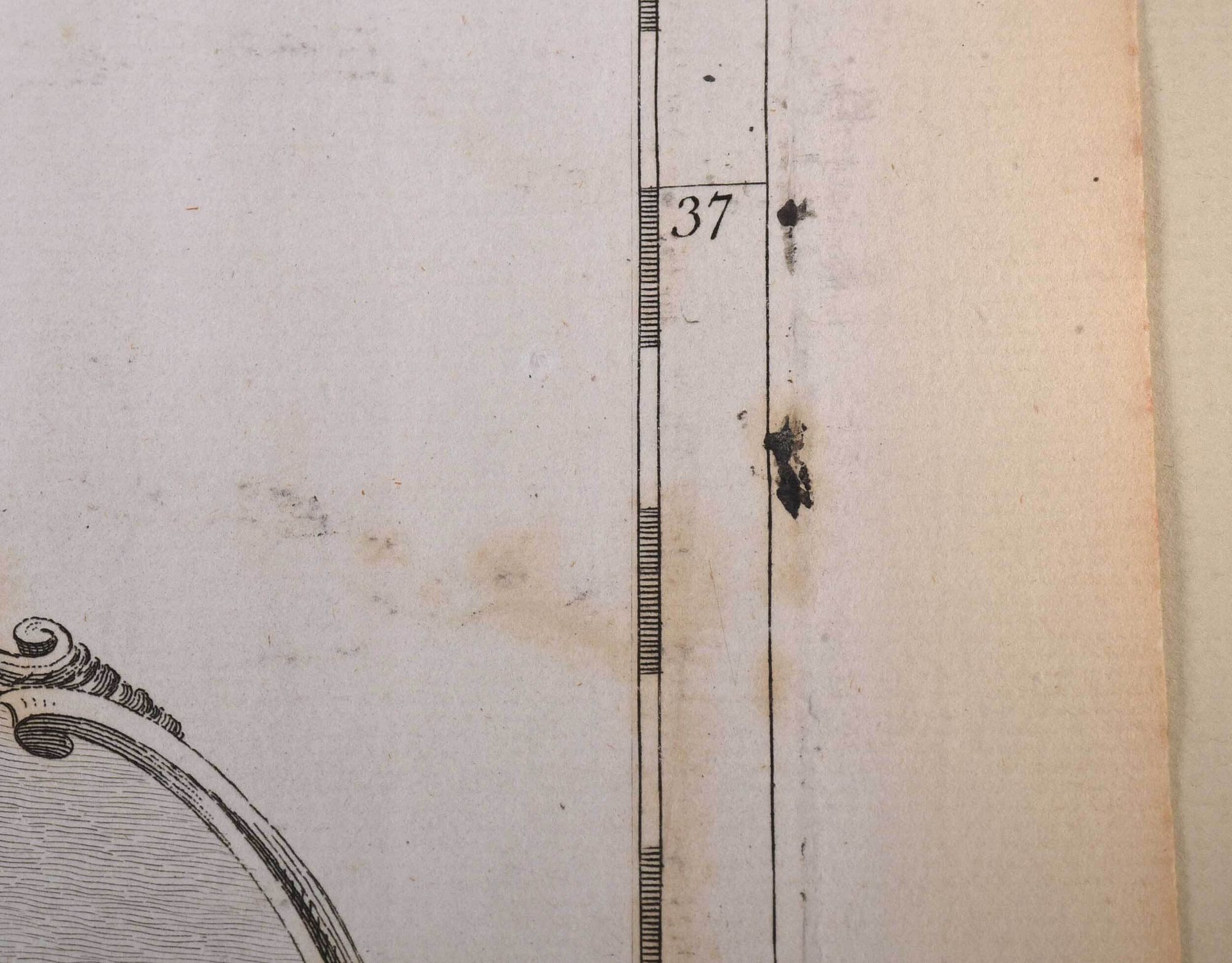
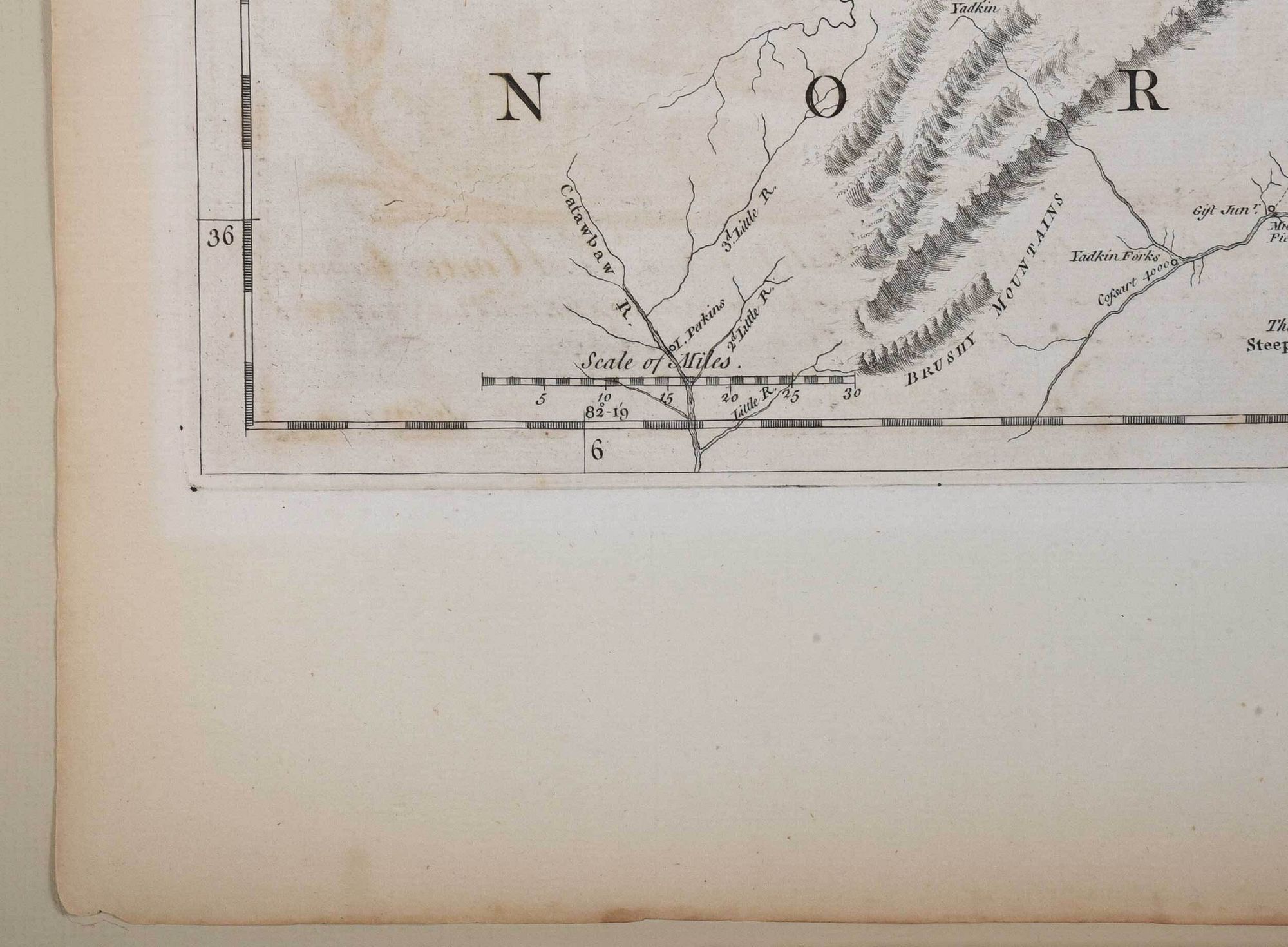
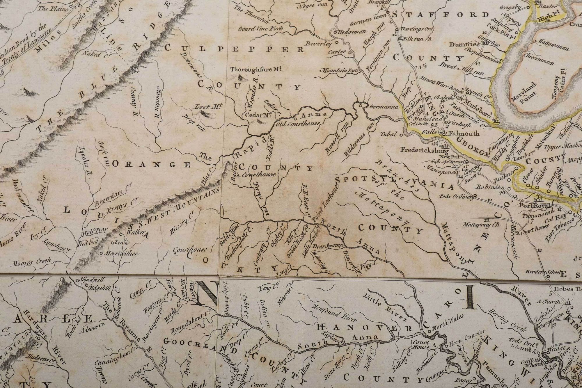
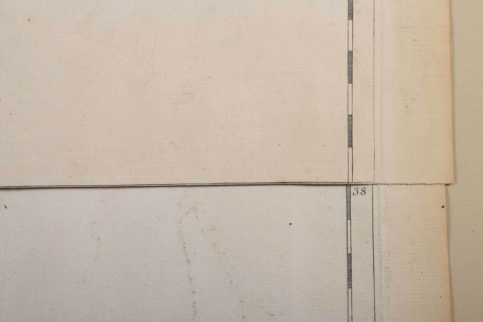
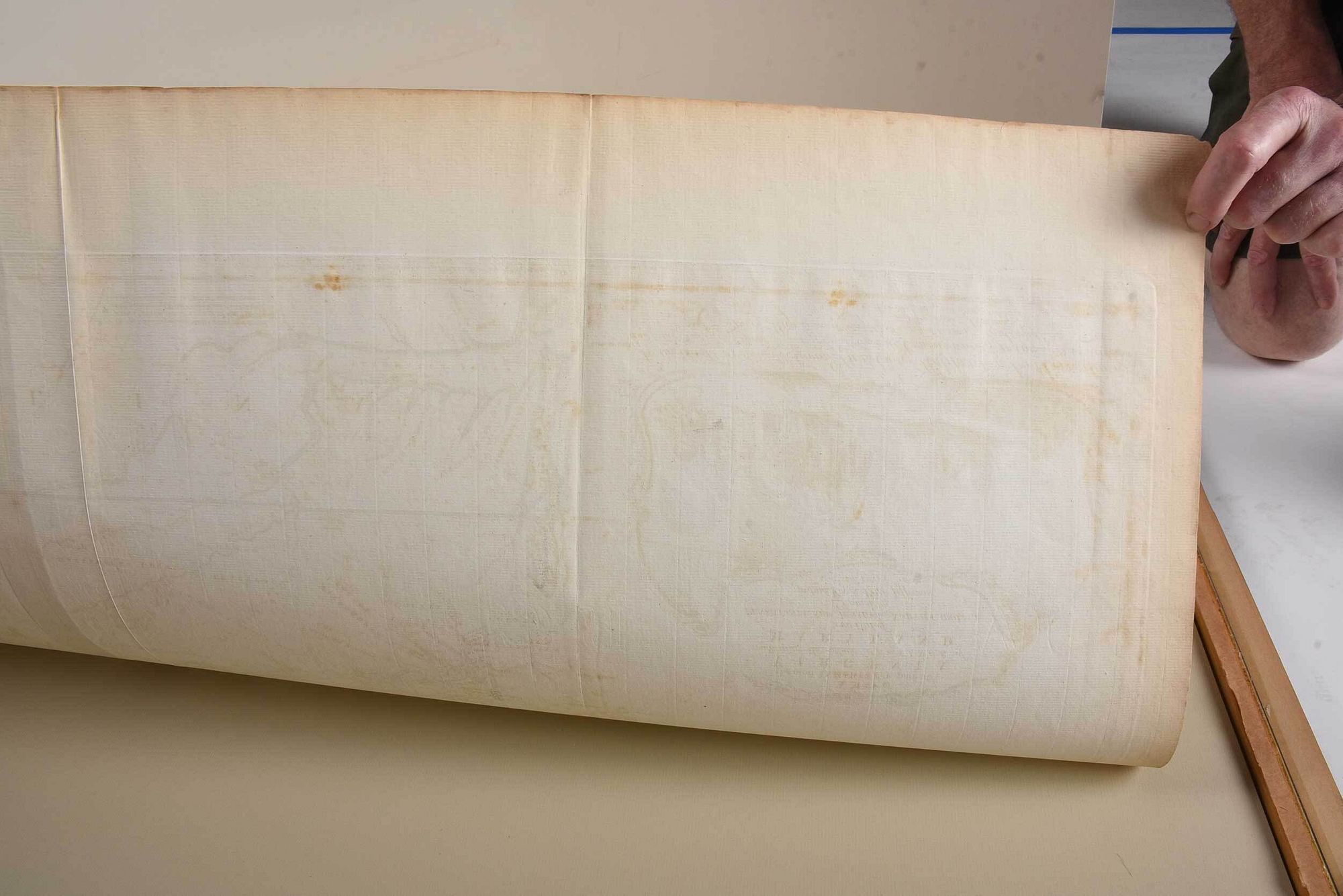
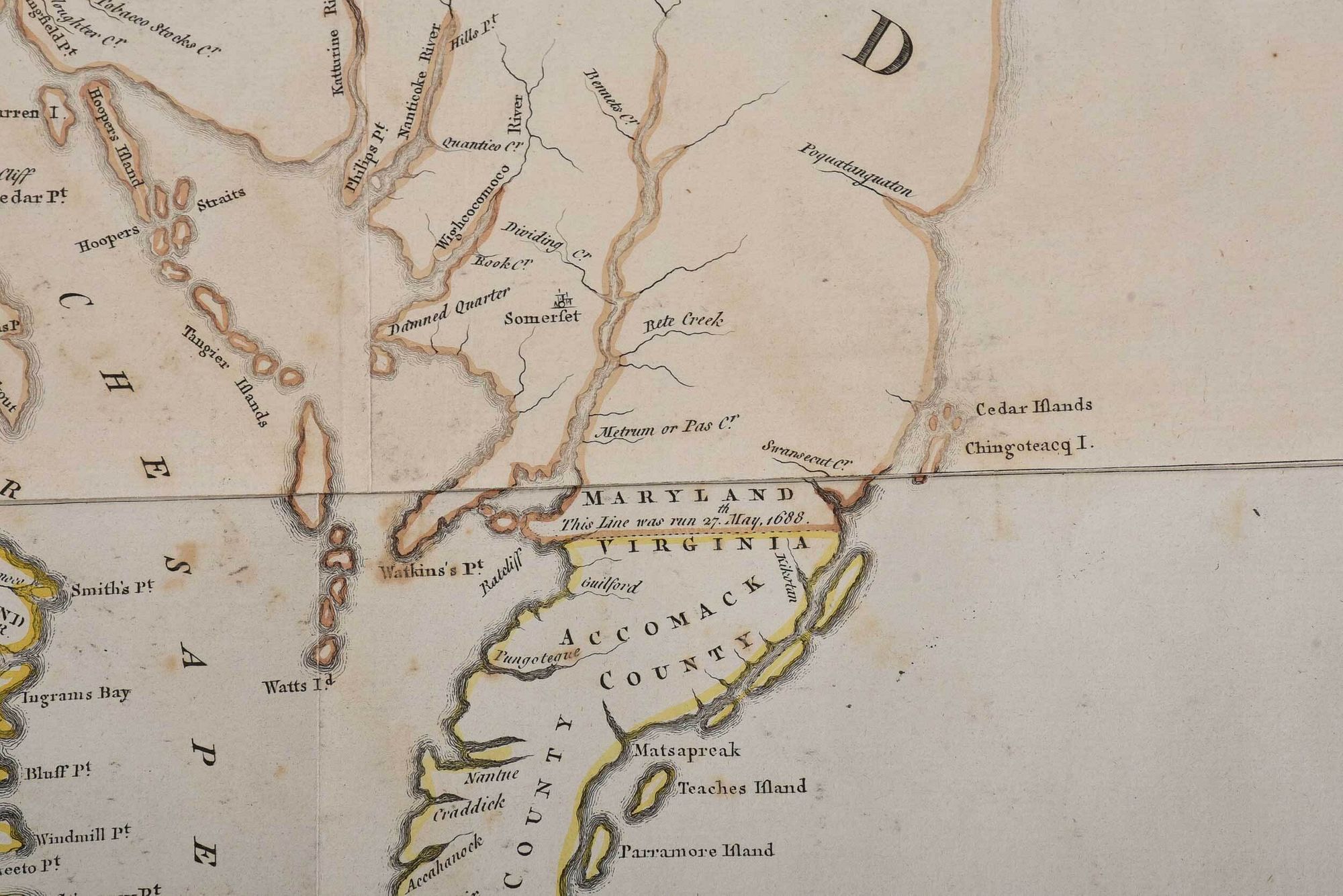
Joshua Fry (circa 1700-1754) and Peter Jefferson (1708-1757), A Map of the most Inhabited part of Virginia containing the whole Province of Maryland..., London, 1775, sixth state, engraving on laid paper with hand colored highlights, overall 37-1/4 x 50-3/4 in., plate 31 x 48-1/2 in.; black painted and gilt wood frame, 41-1/2 x 58-3/4 in.
Note:Literature: Henry Taliaferro and Margaret Pritchard, Degrees of Latitude: Mapping Colonial America, Williamsburg, VA: Colonial Williamsburg Foundation, 2002, no. 30, pg. 154-159.; William P. Cumming, The Southeast in Early Maps, Chapel Hill: University of North Carolina Press, 1998, no. 281, 449, pg. 266-268; 332
Provenance: Property deaccessioned by The Colonial Williamsburg Foundation; all proceeds to benefit The Joseph H. and June S. Hennage Fund
hinged in on mat, tacked down on mat along center join line with archival tape, some light toning, scattered areas of light staining, minor handling creases; frame with light wear
Available payment options


Purchased items will be available for pick up or shipping from our Asheville, North Carolina auction facility within ten business days of the auction will be assessed a storage fee of $5.00 per day, per item. Purchaser agrees that packing and shipping is done at the purchaser's risk and that the purchaser will pay in advance all packing expenses, materials, carrier fees and insurance charges. At our discretion, items will either be packed by an agent such as a packaging store or Brunk Auctions. Please allow two weeks for shipping after payment is received. Shipment of large items is the responsibility of the purchaser. We are happy to provide names of carriers and shippers if a purchaser so requests. Brunk Auctions will have no liability for any loss or damage to shipped items.