Brunk Auctions
Live Auction

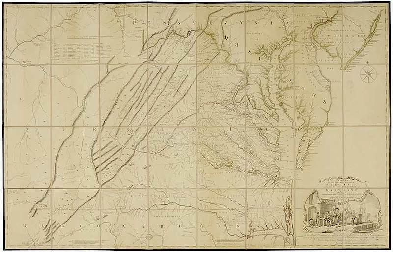
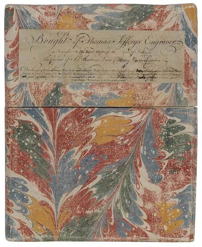
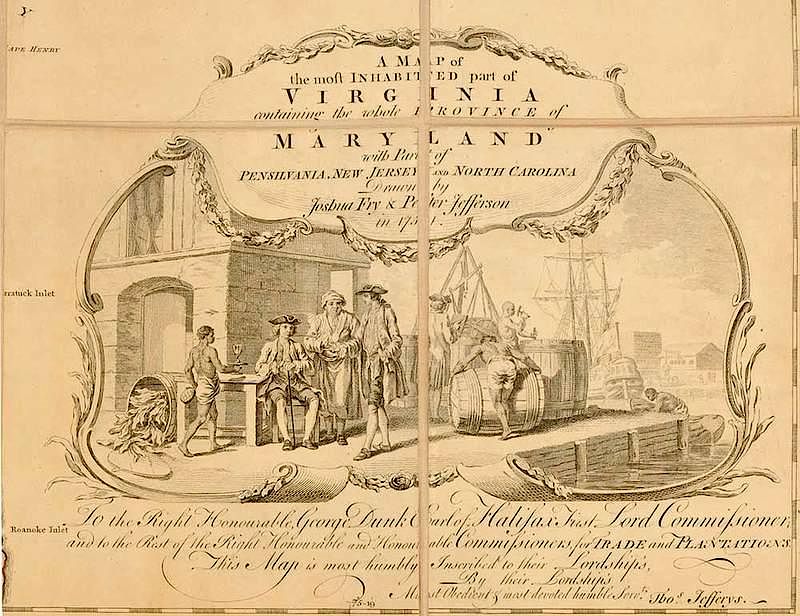
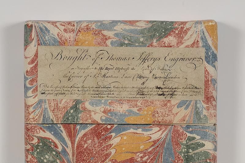
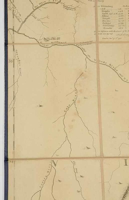
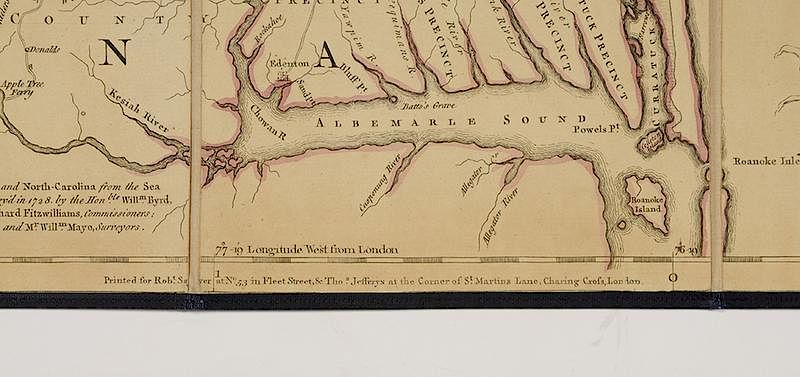
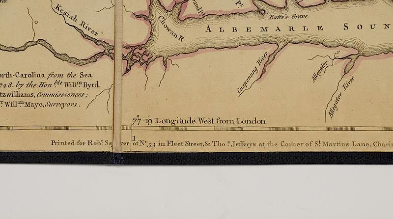
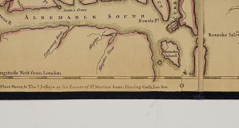
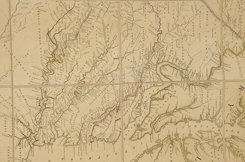
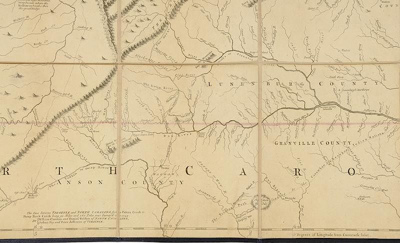
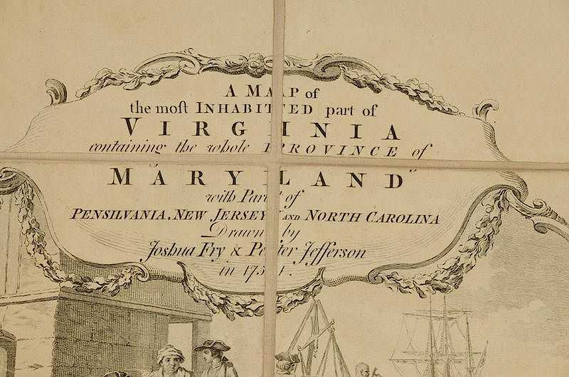
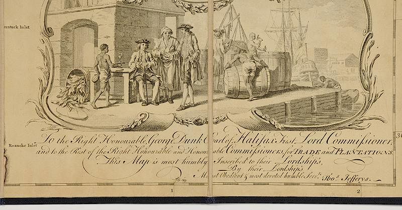
November Premier Auction: Day 3

Sat, Nov 11, 2017 09:00AM EST - Sun, Nov 12, 2017 09:00AM EST
Lot 1090

Fry and Jefferson - Virginia

Estimate: $18,000 - $22,000

Bid Increments

Price Bid Increment
$0 $25
$100 $50
$1,000 $100
$2,000 $200
$3,000 $250
$5,000 $500
$10,000 $1,000
$20,000 $2,000
$50,000 $5,000
$100,000 $10,000
Joshua Fry (1700-1754) and Peter Jefferson (1708-1757) A Map of the most Inhabited part of Virginia containing the whole Province of Maryland with Part of Pensilvania, New Jersey and North Carolina Drawn by Joshua Fry and Peter Jefferson in 1751, 1754/1768 (fifth state), black and white line engraving, bisected on modern cloth backing with hand color outlines, 31-1/2 x 50 in. (overall); unframed in modern reproduction marbled paper case Notes: This copy was published in William C. Wooldridge, Mapping Virginia, figure 102, pp. 107-116. The map made by Joshua Fry and Peter Jefferson was the most important and widely used map of Virginia produced prior to the Revolution. The land masses in the Chesapeake region were more accurately rendered than they had been on any previous map. The entire Virginia river system was delineated and the correct northeast-southwest parallel direction of the Appalachian Mountains was portrayed. One of the most important features was new information relative to the Ohio River, supplied by Christopher Gist, a surveyor and scout for the Ohio Company. The decorative cartouche illustrated the tobacco trade on which Virginia’s economy was based. Literature: Pritchard, Margaret B. and Henry G. Taliaferro, Degrees of Latitude: Mapping Colonial America, no. 30 (the same state is pictured). Provenance: Colonial Williamsburg Foundation, Proceeds to Benefit the Acquisitions Fund

Condition

likely period dissection attached to modern linen with ribboned edge, folding instructions inscribed verso, hand coloring probably period, toning, two sections with staining (second row, far left and far right), one section with two holes at staining (second row far left), penciled inscription lower right This is an example of the fifth known state of this map. Please note the inclusion of "Printed for Robt Sayer at No. 53 in Fleet Street, & Thos. Jefferys at the Corner of St. Martins Lane, Charing Cross, London, 1768" - Which is indicative of this state, but the date in the cartouche is still 1751, a number that was altered to 1755 in the later state.